Delivery of Suomi National Polar-orbiting Partnership (Suomi NPP) satellite data products will cease on November 1, 2026. Data users should transition now to alternative products from NOAA-21 and NOAA-20.
Suomi NPP data announcement
Filters

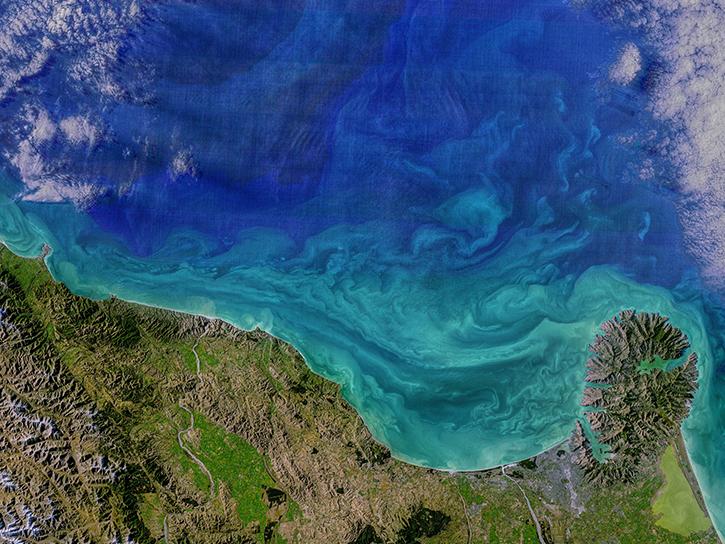
Image captured on 15 November 2020, by the VIIRS instrument, aboard the joint NASA/NOAA NOAA-20 satellite.
Worldview Image of the Week
Nov. 23, 2020
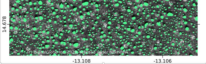
Using commercial satellite data and machine learning, scientists discovered a surprisingly large number of trees in Africa's drylands.
Feature Article
Nov. 19, 2020
Charting global mean sea level rise since 1900.
Data in Action
Nov. 19, 2020
Each year, scientists highlight the many applications of geographic information systems (GIS) on GIS Day.
News
Nov. 19, 2020

A new article authored by members of NASA's Earth Science Data Systems program and the Radiant Earth Foundation was published in the American Geophysical Union's Eos.
Feature Article
Nov. 17, 2020

Discover how a NASA DEVELOP team used NASA Earth science remote sensing data to observe the impacts urban growth has had on the city of Huntsville, Alabama.
Data in Action
Nov. 17, 2020
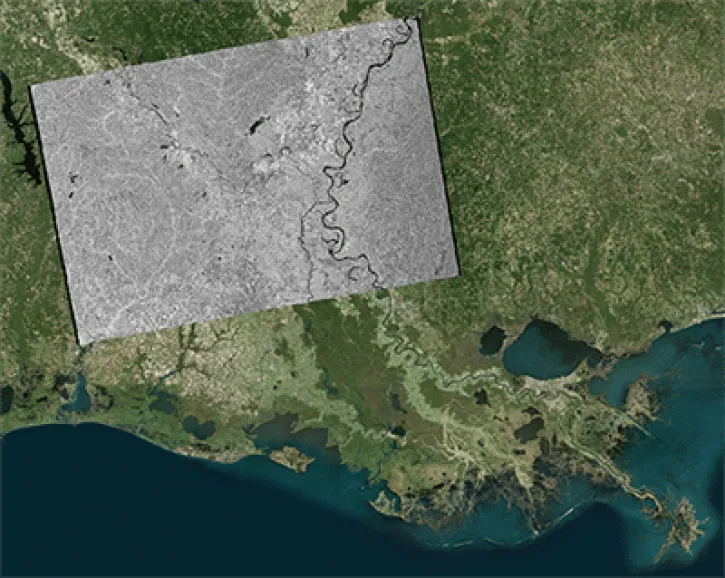
Identify change using the log difference between two NASA Sentinel-1 Radiometric Terrain Corrected (RTC) images.
Tutorial
Nov. 17, 2020
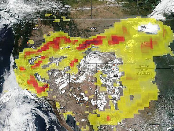
The CALIPSO satellite and the Earth Polychromatic Imaging Camera (EPIC) on NOAA’s DSCOVR satellite collected valuable data on one of the worst fires and fire seasons in California history.
Data in Action
Nov. 16, 2020
SHOWING 8 OF 2410