We are in the process of migrating all NASA Earth science data sites into Earthdata from now until end of 2026. Not all NASA Earth science data and resources will appear here until then. Thank you for your patience as we make this transition.
Read about the Web Unification Project
Filters
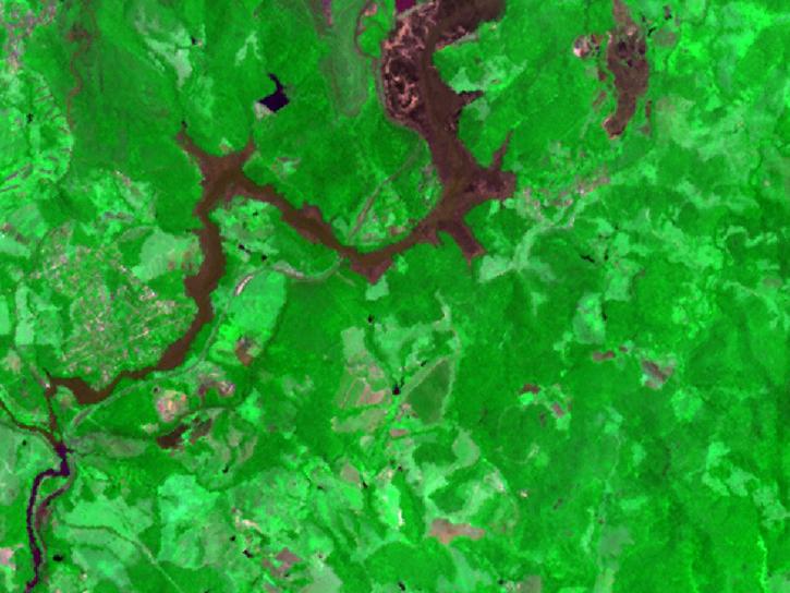
Version 3 of the ASTER GDEM product is available free of charge worldwide.
News
Aug. 5, 2019
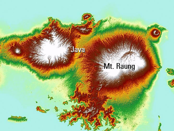
Read publication highlights that detail how NASA data are used to monitor climate-driven vegetation changes, wind-driven sediment plumes in lakes, and volcanic eruption processes.
Data in Action
July 31, 2019

A guide to the basic components of the Giovanni interface and how to use it to create a visualization of NASA Earth science data.
Tutorial
June 19, 2019
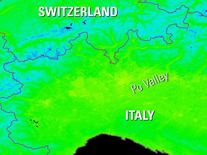
Explore how NASA data helps track NDVI trends in Spain, analyze rising land surface temperatures in Italy, and detect geothermal anomalies in Turkey using MODIS and ASTER imagery.
Data in Action
June 18, 2019
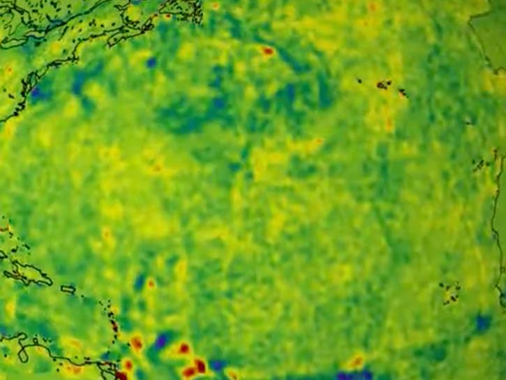
NASA data helps researchers track post-storm changes in sea surface temperature and ocean salinity.
Data in Action
June 12, 2019
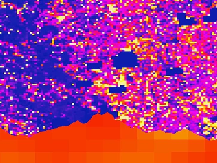
Satellite data shows that communities in western Nepal and northern Bangladesh are at an increased risk for lightning related injury.
Data in Action
June 10, 2019

This update to NASA's Crustal Dynamics Data Information System (CDDIS) archive makes accessing all RINEX data easier and more transparent for the Global Navigation Satellite System (GNSS) user community.
News
June 6, 2019
Sentinel-1A and Uninhabited Aerial Vehicle Synthetic Aperture Radar (UAVSAR) data feeds are now available from NASA's Alaska Satellite Facility (ASF) Distributed Active Archive Center (DAAC).
News
June 6, 2019
SHOWING 8 OF 2372