We are in the process of migrating all NASA Earth science data sites into Earthdata from now until end of 2026. Not all NASA Earth science data and resources will appear here until then. Thank you for your patience as we make this transition.
Read about the Web Unification Project
Filters

We are pleased to announce the availability of two new sea surface temperature layers provided by the Group for High Resolution Sea Surface Temperature.
Blog
Dec. 10, 2015
GIBS is now providing daily global mosaics of VIIRS imagery in full resolution.
Blog
Dec. 10, 2015
OnEarth-Boxes is a new system that makes it easy to create new virtual machines with pre-configured OnEarth servers for experimentation, education, and development.
Blog
Dec. 9, 2015

These products are available globally at their full resolution of 30 meters per pixel.
Blog
Dec. 9, 2015

Emergency teams use MODIS data to monitor the locations and sizes of wildfires, observe fire patterns and durations, and track burn scars to help prevent, manage, and predict fires.
Data in Action
Nov. 25, 2015

NASA DEVELOP teams used MODIS and ASTER data to address wildfire impacts, flooding risks, and wildlife conservation through remote sensing.
Data in Action
Nov. 18, 2015

Discover how NASA data support amphibian habitat mapping, classification of Amazonian wetland vegetation, and flood regime monitoring in Botswana’s Okavango Delta.
Data in Action
Oct. 28, 2015
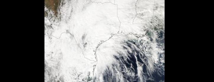
Image captured by the MODIS instrument, aboard the Aqua satellite, on 24 October 2015
Worldview Image of the Week
Oct. 26, 2015
SHOWING 8 OF 2389