Delivery of Suomi National Polar-orbiting Partnership (Suomi NPP) satellite data products will cease on November 1, 2026. Data users should transition now to alternative products from NOAA-21 and NOAA-20.
Suomi NPP data announcement
Filters
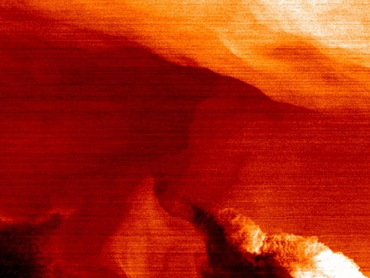
NASA’s SWOT satellite will measure sea level height variations on spatial scales down to a few kilometers.
Data in Action
Aug. 17, 2013
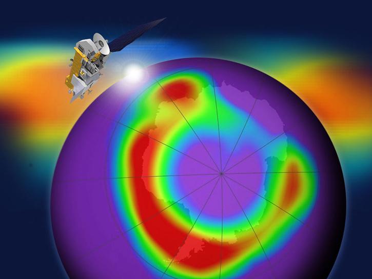
In coordination with the Microwave Limb Sounder (MLS) team, we now have several MLS products available through the GIBS image access APIs.
Blog
July 1, 2013

We have been working to continue the evolution and compliance with the Web Map Tile Service (WMTS) specification.
Blog
July 1, 2013
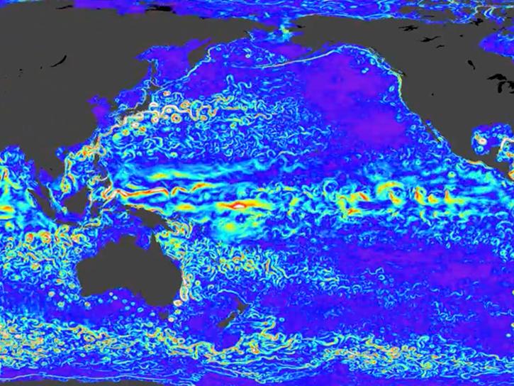
TOPEX/Poseidon provided more than 13 years of data, while two follow-on missions—Jason-1 and Jason-2—have extended the time series of data to more than 20 years.
Data in Action
Dec. 12, 2012

Jet Propulsion Laboratory oceanographer and climatologist Bill Patzert talks about the prospects for future tropical cyclones in Southern California.
Data User Story
Oct. 17, 2012
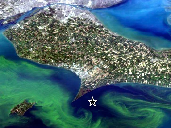
Access the agenda and download presentations from the second HICO Users Meeting.
Event
Oct. 10, 2012
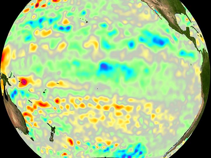
GRACE satellites were used to "weigh" the ocean to determine the cause of a drop in the global mean sea level.
Data in Action
Oct. 8, 2012
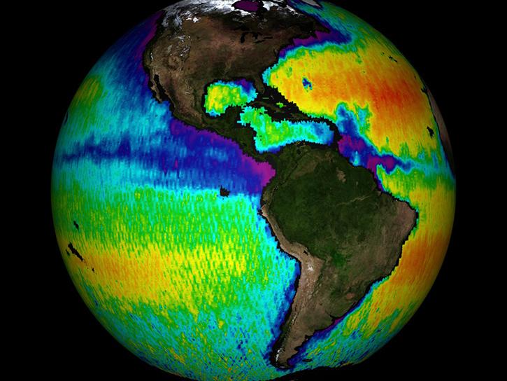
The Salinity Processes in the Upper Ocean Regional Study (SPURS) project aims to improve our understanding of salinity processes in the upper ocean.
Data in Action
Sept. 4, 2012
SHOWING 8 OF 2405