Delivery of Suomi National Polar-orbiting Partnership (Suomi NPP) satellite data products will cease on November 1, 2026. Data users should transition now to alternative products from NOAA-21 and NOAA-20.
Suomi NPP data announcement
Filters
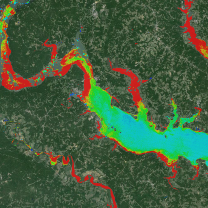
A combination of Landsat and Sentinel-2 imagery, NASA near real-time data, and machine learning provides near real-time access to high-resolution water quality maps.
News
June 27, 2024
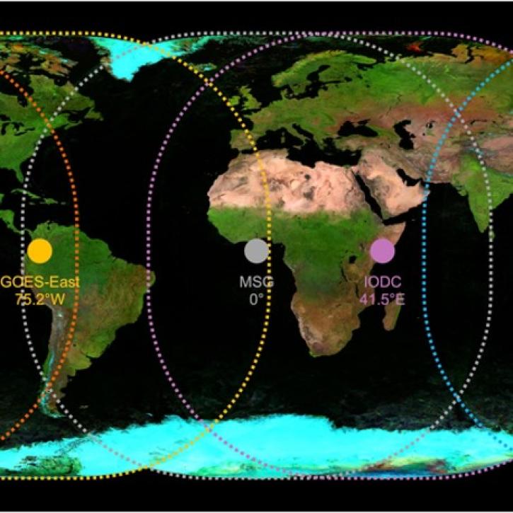
Active fire detection data from five geostationary sensors are available in NASA's Fire Information for Resource Management System (FIRMS) and collectively provide global coverage.
Blog
June 27, 2024
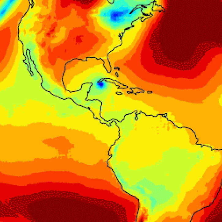
An in-depth look at the development, attributes, and (many) benefits of this foundation model for applying artificial intelligence (AI) to weather and climate.
Blog
June 27, 2024
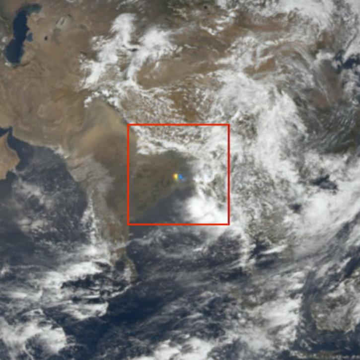
NASA researchers and data offer new insights into the impish and interesting visual phenomenon of sunglint in satellite imagery.
Feature Article
June 25, 2024
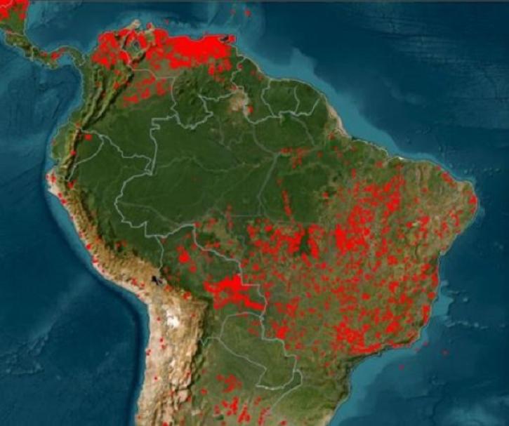
Global and US/Canada active Fire Maps enable users to visualize the location, extent, and impact of wildfires with minimal delay.
Feature Article
June 24, 2024
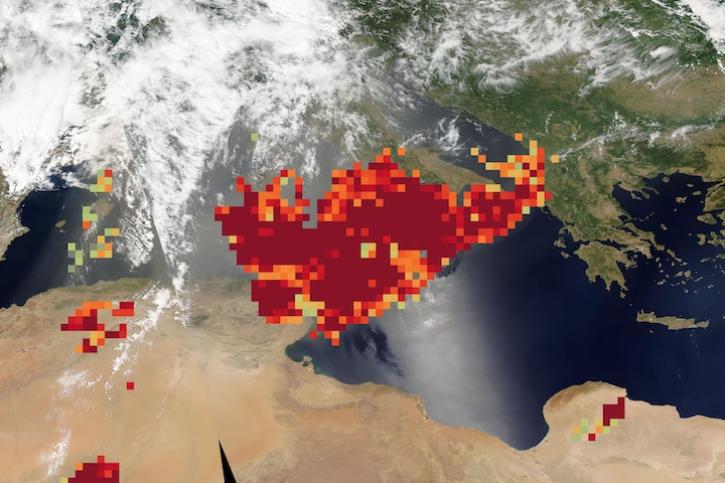
Image captured on June 20, 2024, by the MODIS and AIRS instruments aboard NASA's Aqua satellite.
Worldview Image of the Week
June 20, 2024

The Algorithm Publication Tool (APT) streamlines the authoring of Algorithm Theoretical Basis Documents (ATBDs), which guide how data are processed.
Feature Article
June 18, 2024

The application of artificial intelligence (AI) to Earth science data makes it possible to search through large amounts of data to find relationships.
Data Basics
June 17, 2024
SHOWING 8 OF 2405