We are in the process of migrating all NASA Earth science data sites into Earthdata from now until end of 2026. Not all NASA Earth science data and resources will appear here until then. Thank you for your patience as we make this transition.
Read about the Web Unification Project
Filters
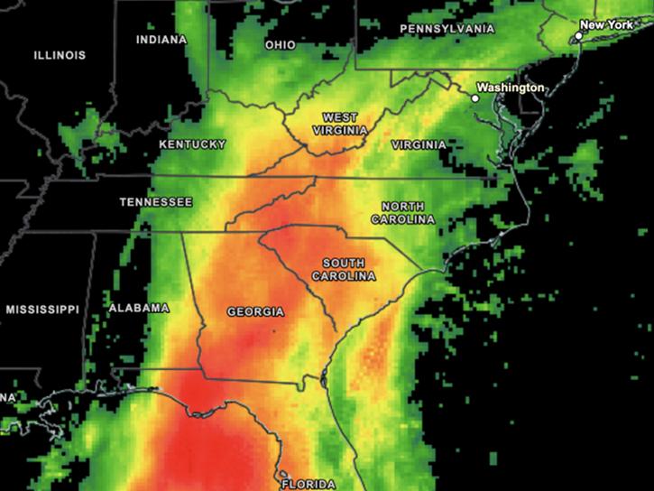
Visualize daily-average and 30-minute IMERG precipitation estimates.
News
Nov. 21, 2025
Visualize and download IMERG precipitation imagery using Worldview.
Tutorial
Nov. 21, 2025

Harmonized Landsat and Sentinel-2 (HLS) image captured on November 9, 2025, by the MSI instrument aboard the Sentinel-2B platform.
Worldview Image of the Week
Nov. 20, 2025

Explore how NASA uses geospatial science and technology to provide a multidimensional view of our complex and beautiful planet.
News
Nov. 19, 2025

Researchers used the Emergency Environmental Health Dashboard, which leverages NASA's record of satellite imagery, to assess post-storm impacts to water systems and private wells.
News
Nov. 18, 2025

The Emergency Environmental Health Dashboard helped local communities assess water quality risks and infrastructure damage following Hurricane Helene and Tropical Storm Chantal.
Data in Action
Nov. 18, 2025

Looking to brush up your skills in GIS? You’re in luck—Earthdata has released new tutorials and data recipes for GIS users.
News
Nov. 17, 2025

Learn how to create a time-enabled multidimensional mosaic dataset using NetCDF files within the GIS desktop program ArcGIS Pro.
Data Recipe
Nov. 17, 2025
SHOWING 8 OF 2326