Delivery of Suomi National Polar-orbiting Partnership (Suomi NPP) satellite data products will cease on November 1, 2026. Data users should transition now to alternative products from NOAA-21 and NOAA-20.
Suomi NPP data announcement
Filters
Dr. Gerald (Stinger) Guala talks about the many ways citizen scientists are enhancing NASA's Earth science data collection.
Data User Story
April 24, 2023
The GitHub repository, hosted by NASA's Land Processes Distributed Active Archive Center, provides a range of materials for using LP DAAC data and tools.
Tutorial
April 21, 2023
All PO.DAAC users should complete the transition of their legacy data access scripts and methods for compatibility with cloud data access endpoints.
News
April 20, 2023

Image captured Apr 19, 2023, by the MODIS instrument aboard NASA's Aqua satellite.
Worldview Image of the Week
April 20, 2023

Special NASA Earth Day events the week of Apr 17 will help you explore your world this Earth Day.
News
April 19, 2023
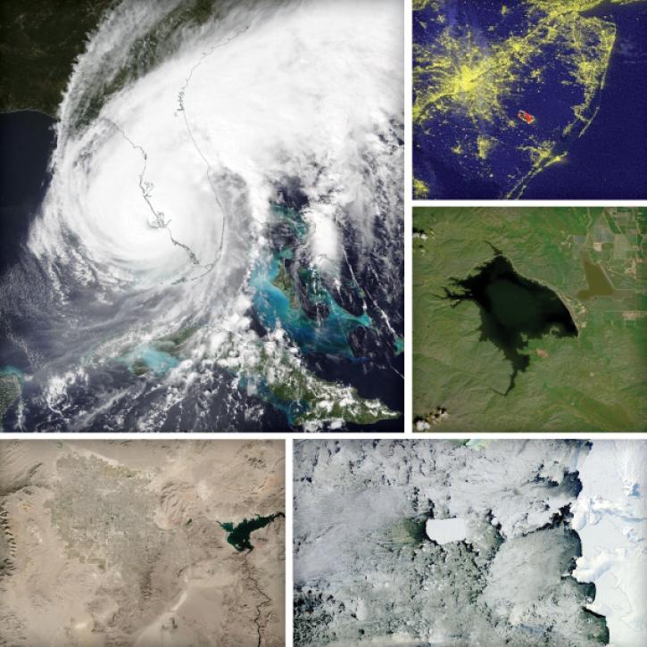
This Earth Day we invite you to explore global, full-resolution NASA Earth science data imagery to explore our ever-changing planet.
Feature Article
April 19, 2023

ROSES-2023 solicits proposals for membership on the NASA EMIT Science and Applications Team.
News
April 17, 2023

The migration is part of NASA’s Earthdata Cloud Evolution, which gives users new ways to access NASA Earth science data.
News
April 14, 2023
SHOWING 8 OF 2405