We are in the process of migrating all NASA Earth science data sites into Earthdata from now until end of 2026. Not all NASA Earth science data and resources will appear here until then. Thank you for your patience as we make this transition.
Read about the Web Unification Project
Aerosol Optical Depth/Thickness Data Access and Tools
Access datasets and tools to optimize your aerosols research.
Table of contents
Aerosol Optical Depth/Thickness Datasets
MODIS
Moderate Resolution Imaging Spectroradiometer (MODIS) instruments are aboard NASA’s Terra and Aqua platforms and provide estimates about aerosol optical depth. Terra's orbit is timed so that it passes from north to south across the equator in the morning, while Aqua passes south to north over the equator in the afternoon.
GIBS will be expanding the data range and palette of the MODIS Aerosol Optical Depth products.
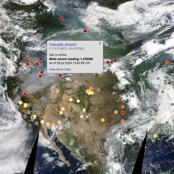
NASA Worldview added four layers from the Aerosol Robotic Network (AERONET) program to provide ground-based measurements of aerosol optical depth (AOD) and Angstrom parameter.
Scientists develop routine service for wildfire detection in the continental United States with a latency of less than 60 seconds.
6 MIN READ
The Visible Infrared Imaging Radiometer Suite (VIIRS) will help ensure continuity of Earth observations after the upcoming retirement of the Moderate Resolution Imaging Spectroradiometer (MODIS).
Aerosol Optical Depth/Thickness Data Tools
| Tool Sort descending | Description | Services | |
|---|---|---|---|
| AppEEARS | The The Application for Extracting and Exploring Analysis Ready Samples (AppEEARS) offers users a simple and efficient way to perform data access and transformation processes. | Search and Discovery, Subsetting, Customization, Downloading, Visualization | |
| Panoply | Panoply is a cross-platform application that plots geo-referenced and other arrays from netCDF, HDF, GRIB, and other datasets. | Visualization, Customization, Reformatting, Subsetting, Comparison | |
| Worldview | Worldview offers the capability to interactively browse over 1,200 global, full-resolution satellite imagery layers and download the underlying data. | Analysis, Search and Discovery, Visualization, Access, Comparison, Monitoring Natural Events |
SHOWING 3 OF 3
Frequently Asked Questions
Earthdata Forum
Our online forum provides a space for users to browse thousands of FAQs about research needs, data, and data applications. You can also submit new questions for our experts to answer.
Submit Questions to Earthdata Forumand View Expert Responses

