We are in the process of migrating all NASA Earth science data sites into Earthdata from now until end of 2026. Not all NASA Earth science data and resources will appear here until then. Thank you for your patience as we make this transition.
Read about the Web Unification Project
Aerosol Optical Depth/Thickness News
Articles, resources, and announcements from Aerosol Optical Depth/Thickness.

Sensors on Aqua, Suomi-NPP, and NOAA-20 detected fires and poor air quality across Thailand, Laos, Cambodia, Vietnam, and other countries in early April 2026.
Worldview Image of the Week
April 10, 2026

Near real-time products available through LANCE provide crucial details about aerosol properties and atmospheric composition.
Blog
July 31, 2025
FIRMS was used to track the spread of smoke plumes during the Canadian wildland fires in June 2025.
Blog
June 17, 2025

Annual prescribed burns are crucial for improving and maintaining pasture and crop land health, and remote sensing data provides near real-time information on location and air quality.
News
June 6, 2025
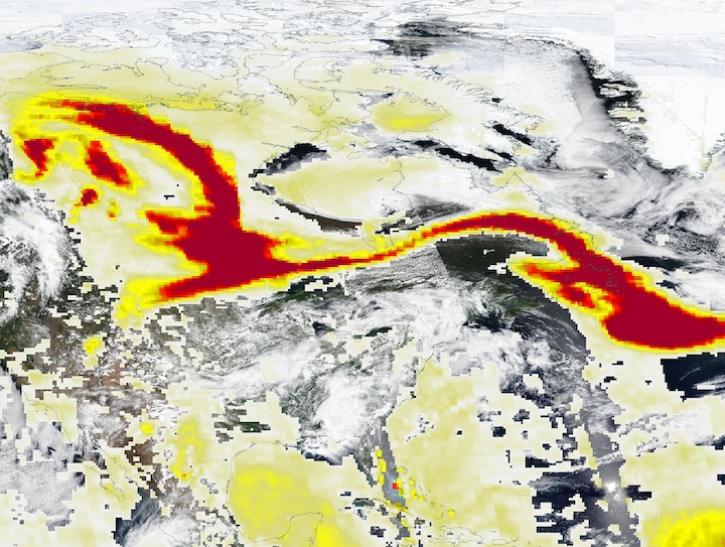
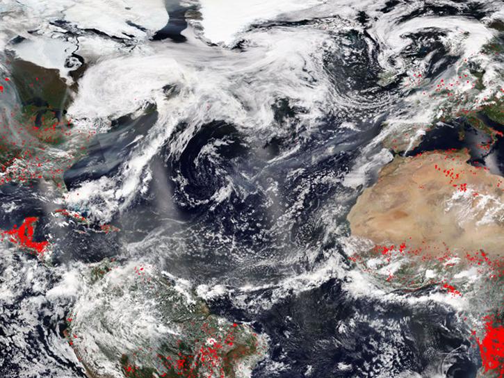
Image captured May 29, 2025, by the VIIRS and OMPS instruments aboard the joint NASA/NOAA Suomi NPP platform.
Worldview Image of the Week
May 30, 2025
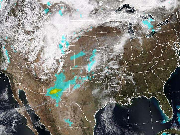
Spring 2025 has been an unusually active period for dust storms over the Southwestern U.S.
News
March 25, 2025
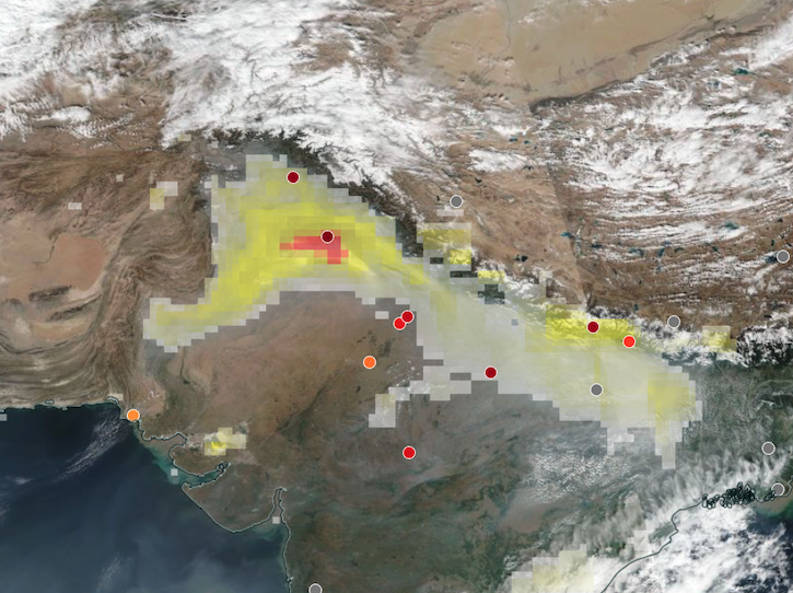
Base corrected reflectance image acquired on Nov 12, 2024, with aerosol index overlaid with ground-based aerosol optical depth measurements.
Worldview Image of the Week
Nov. 14, 2024
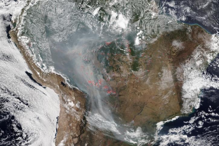
Image captured on Aug 28, 2024, by the VIIRS instrument aboard the joint NASA/NOAA NOAA-20 satellite.
Worldview Image of the Week
Aug. 29, 2024
SHOWING 8 OF 42