Delivery of Suomi National Polar-orbiting Partnership (Suomi NPP) satellite data products will cease on November 1, 2026. Data users should transition now to alternative products from NOAA-21 and NOAA-20.
Suomi NPP data announcement
Aerosol Optical Depth/Thickness News
Articles, resources, and announcements from Aerosol Optical Depth/Thickness.

Base image acquired Jun 7, 2023, by the VIIRS instrument aboard the joint NASA/NOAA Suomi NPP satellite and overlaid with Aerosol Index values from the OMPS instrument.
Worldview Image of the Week
June 8, 2023
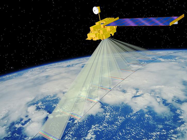
The MISR Research Aerosol retrieval algorithm (RA) paper details the latest iteration in a progression of advances.
News
Dec. 31, 2022
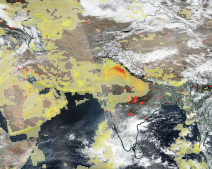
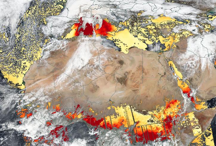
Image captured Nov 1, 2021, by the VIIRS instrument aboard the joint NASA/NOAA Suomi NPP satellite.
Worldview Image of the Week
Dec. 7, 2021
Based on the same MODIS algorithm, the new VIIRS Dark Target Aerosol product provides global satellite-derived measurements of Aerosol Optical Depth and aerosol properties over land and ocean.
News
July 12, 2021

Find EOSDIS dataset and data tool news, top stories, featured data images, webinars, links to new learning resources, data recipes, and Data User Profiles.
News
July 2, 2021

Who uses NASA Earth science data? Dr. Charles Ichoku, to study the global and regional impacts of fires in Northern Sub-Saharan Africa.
Data User Story
April 22, 2021

Who Uses NASA Earth Science Data? Dr. Greg Jenkins, to study weather, climate, atmospheric chemistry, and air quality of West Africa.
Data User Story
April 19, 2021
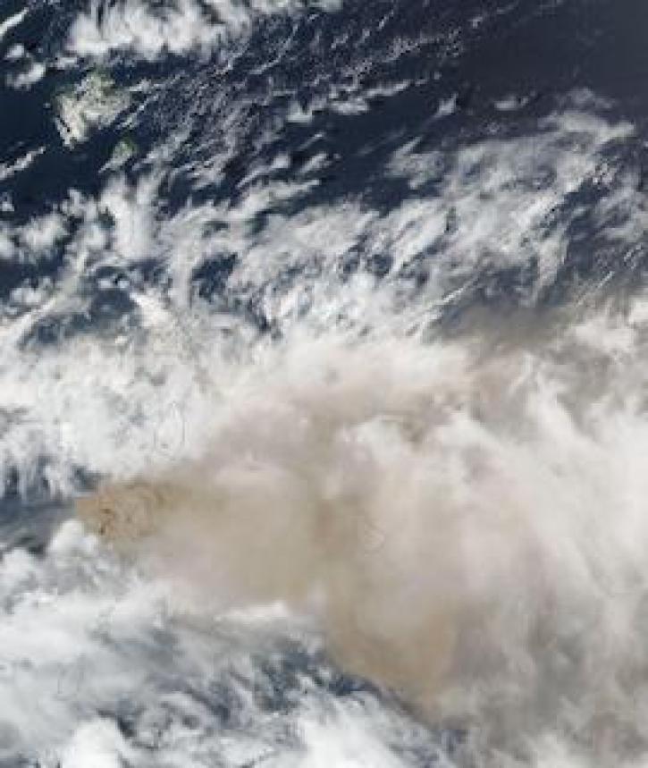
Image captured on 10 April 2021, by the VIIRS instrument, aboard the joint NASA/NOAA Suomi NPP satellite.
Worldview Image of the Week
April 19, 2021
SHOWING 8 OF 43