Access topic-specific data and resources for accessing, visualizing, preparing/manipulating (e.g. subsetting), and analyzing data. Each observation, model, and reanalysis data has unique characteristics that should be considered when evaluating its use.
An asterisk (*) next to an entry indicates that near real-time (NRT) data products are available through NASA's Land, Atmosphere Near real-time Capability for Earth observation (LANCE). While not intended for scientific research, NRT data are good resources for monitoring ongoing or time-critical events. Learn more about the difference between near real-time versus standard products.
Commonly Used Nitrogen Dioxide Data at a Glance
| Spatial Resolution | Spatial Coverage | Temporal Resolution | Temporal Coverage | Spectral Resolution | Satellite/ Platform | Name (Instrument, Model, etc.) | Observation, Model, or Reanalysis | File Format |
|---|---|---|---|---|---|---|---|---|
| 0.25°, 13 km x 24 km | Global | 98 min, Daily | 2004-near present | 1.0-0.45 nm Full Width and Half Maximum (FWHM) | Aura | Ozone Monitoring Instrument (OMI) | Observation | HDF-EOS5 |
| 5.5 km x 3.5 km | Global | 101.5 minutes | 2021-present | 270 nm-2.3 µm, 0.55 nm | ESA Sentinel-5P | TROPOspheric Monitoring Instrument (TROPOMI) | Observation | netCDF |
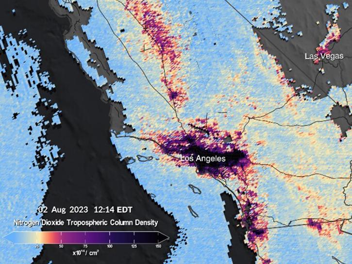
| 2.0 km x 4.75 km | North America | Hourly | 08/2023 - present | 0.6 nm | Intelsat 40e | Tropospheric Emissions: Monitoring Pollution (TEMPO) | Observation | netCDF |
| 0.25º x 0.25° | Global | 15 min, Hourly | Daily 5-day forecast | N/A | N/A | GEOS-CF | Model | netCDF |
| 0.0083° x 0.0083° | Near-global | Yearly | 1990-2020 | N/A | N/A | LUR | Model | netCDF |
| Point measurements | Global | Periodic flights occurred during each deployment | 2016-2018 | Varies | Airborne Field Campaign | Atmospheric Tomography Mission (ATom) campaign with varying instruments | Observation | netCDF |