We are in the process of migrating all NASA Earth science data sites into Earthdata from now until end of 2026. Not all NASA Earth science data and resources will appear here until then. Thank you for your patience as we make this transition.
Read about the Web Unification Project
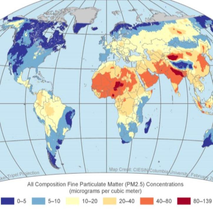
Particulate Matter Learning Resources
Webinars, tutorials, data recipes and more to help you work with Particulate Matter.
Filters

This training covers the theoretical approaches and key datasets to estimate historical PM2.5 from satellite aerosol optical depth.
Training
July 8-22, 2026
Join us Nov 30 for an introduction and analysis of NASA SEDAC's datasets for air quality and health impacts of exposed populations.
Webinar
Nov. 8, 2022

Join us as we discuss remote sensing derived environmental indicator datasets that can enable environmental decision making. We focus on three major issue areas: ambient air pollution, coastal eutrophication and biomass burning.
Webinar
April 18, 2022

This training builds capacity to apply Python codes and other online tools to work with datasets from NASA's Goddard Earth Observing System (GEOS).
Training
Feb. 22 - March 1, 2022

The CALIPSO satellite and the Earth Polychromatic Imaging Camera (EPIC) on NOAA’s DSCOVR satellite collected valuable data on one of the worst fires and fire seasons in California history.
Data in Action
Nov. 16, 2020
SHOWING 5 OF 5
Frequently Asked Questions
Earthdata Forum
Our online forum provides a space for users to browse thousands of FAQs about research needs, data, and data applications. You can also submit new questions for our experts to answer.
Submit Questions to Earthdata Forumand View Expert Responses