What is particulate matter?
Particulate matter (PM) is a mixture of particles — both solids and liquid droplets — found suspended in the air. Also known as aerosols, these small particles include dust, smoke, salt spray, trace gases, and pollutants. Human-caused (anthropogenic) sources of particulate matter include emissions from factories, automobiles, and construction.
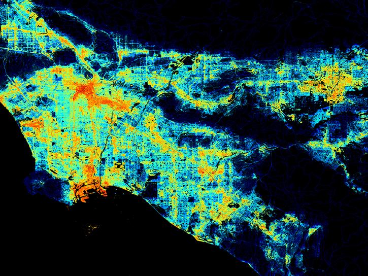
Particulate matter is usually classified by its size. Particles 10 micrometers or less in diameter are referred to as PM10, and particles with a diameter of 2.5 micrometers or smaller are called PM2.5. Some particles, especially those in the PM2.5 category, can enter the human lungs and bloodstream. Studying and forecasting PM concentrations is an important aspect of monitoring air quality and public health because these particles can pose risks to respiratory health, especially for people that suffer from pre-existing conditions or those who are immunocompromised.
How do we monitor particulate matter?
Aerosols are generally too small to observe directly, so NASA measures particulate matter concentrations by modeling aerosol optical depth (AOD). AOD is a measurement of the scattering and redirection of light in the atmosphere, so measuring the behavior of light in the atmosphere allows NASA scientists to calculate PM concentrations.
NASA’s Ozone Monitoring Instrument (OMI) aboard the Aura satellite has been monitoring aerosol concentrations since 2004. OMI uses an imaging spectrometer to identify different types of particulate matter, like smoke, ash, and dust, and provides near real-time data of aerosol concentrations across the world.
The Cloud-Aerosol Lidar and Infrared Pathfinder Satellite Observation (CALIPSO) missions provided high-resolution atmospheric profiles of aerosols from 2006-2023. Newer instruments are continuing NASA's mission of monitoring global particulate matter, including the Visible Infrared Imaging Radiometer Suite (VIIRS) and the Ocean Color Instrument (OCI).
Not all of NASA's particulate matter observations come from satellites. The Aerosol Robotic Network (AERONET) is a system of ground-based aerosol sensors with installations on every continent except Antarctica. AERONET sensors observe the sky every 15 minutes at nine different wavelengths to provide estimates of air quality and aerosol concentrations.
How do we use particulate matter data?
NASA provides global datasets on particulate matter concentrations and aerosol optical depth. These are key parts of models of global air quality, and they can help public health professionals monitor conditions for respiratory health. NASA also provides training, tutorials, and learning resources to help integrate particulate matter data into research workflows.