Due to the lapse in federal government funding, NASA is not updating this website. We sincerely regret this inconvenience.
Vegetation Index Learning Resources
Webinars, tutorials, data recipes and more to help you work with Vegetation Index.
Filters
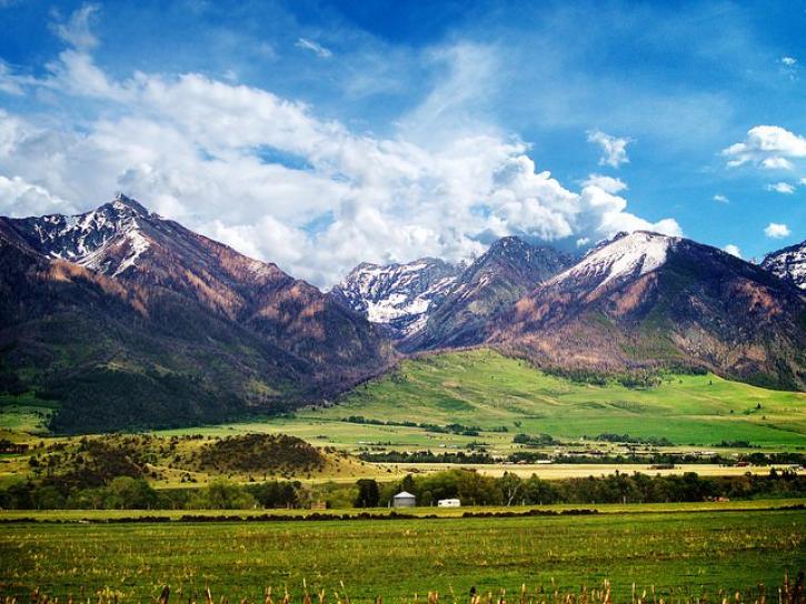
Learn how MODIS data were used to update the 1992 Montana Climate Atlas to better understand the state's climate and how it relates to resources and industries.
Data in Action
Oct. 21, 2015
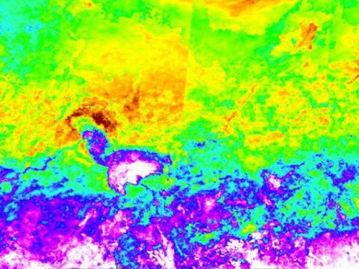
See how MODIS data are used to determine areas susceptible to water-stress to show the relative health of the vegetation compared to the same area with healthy vegetation.
Data in Action
June 25, 2015
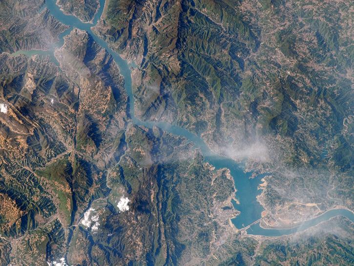
Researchers used MODIS and ASTER data to analyze how the Three Gorges Dam's construction altered vegetation along the Yangtze River's riparian zones.
Data in Action
April 29, 2015
Explore how MODIS data supports research on tick-borne disease spread in Kansas, water stress in African rangelands, and long-term greenness trends in Alaska’s boreal ecosystems.
Data in Action
Oct. 28, 2014
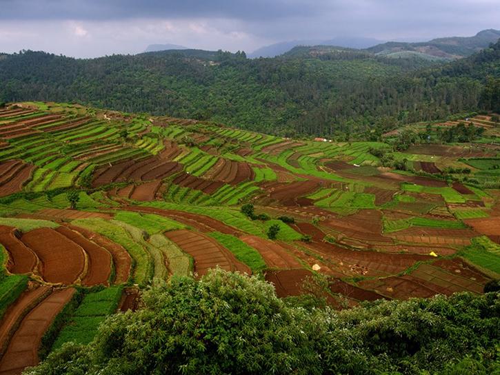
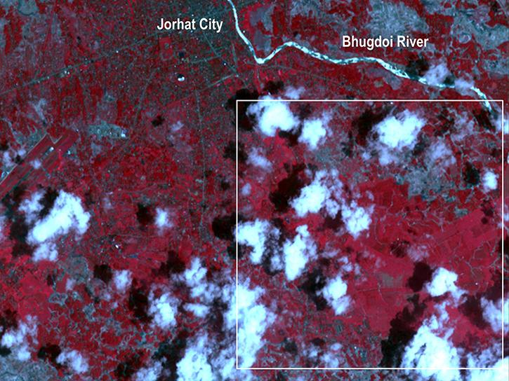
Satellite data derived from ASTER imagery help tea growers in India assess crop health.
Data in Action
Aug. 14, 2014
Discover how MODIS data were used to depict cloud-free, global variations in vegetation cover.
Data in Action
April 11, 2014
Frequently Asked Questions
Earthdata Forum
Our online forum provides a space for users to browse thousands of FAQs about research needs, data, and data applications. You can also submit new questions for our experts to answer.
Submit Questions to Earthdata Forumand View Expert Responses