Delivery of Suomi National Polar-orbiting Partnership (Suomi NPP) satellite data products will cease on November 1, 2026. Data users should transition now to alternative products from NOAA-21 and NOAA-20.
Suomi NPP data announcement
Floods News
Articles, resources, and announcements from Floods.

Image of a three-day flood composite ending Aug 30, 2022, from the MODIS instruments aboard the Terra and Aqua satellites.
Worldview Image of the Week
Aug. 30, 2022

Data from NASA’s SEDAC help Thomas Parris assess the impact of water stress on agriculture, industries, and people around the globe.
Data User Story
June 30, 2022
Remote sensing data help researchers measure change in the Alaskan landscape.
Data User Story
April 17, 2022
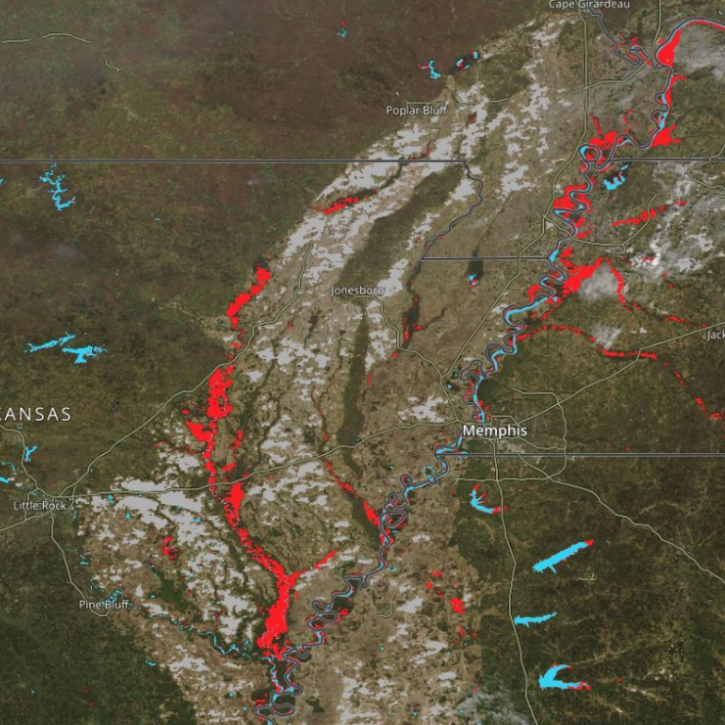
New Near Real-Time (NRT) Global Flood Mapping product from LANCE will continue production of data critical for detecting floods around the globe.
Feature Article
Dec. 27, 2021
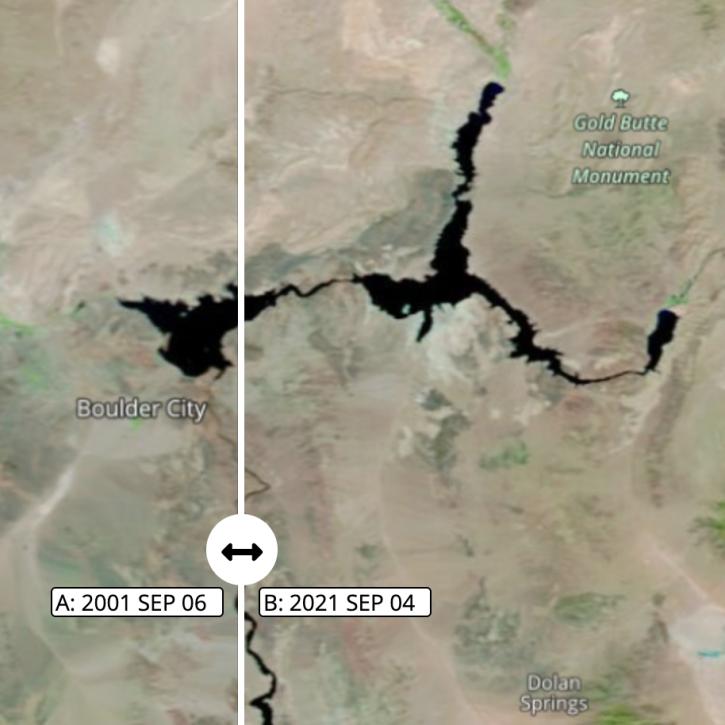
Images captured on Sep 6 and Sep 4, 2021, by the MODIS instrument aboard the Terra satellite.
Worldview Image of the Week
Nov. 1, 2021
Data from NASA's Socioeconomic Data and Applications Center support researchers at the Center for International Earth Science Information Network.
News
Aug. 27, 2021

Synthetic Aperture Radar (SAR) Data from NASA’s ASF DAAC helps scientists like Dr. Steve Bowman provide Utah’s citizens with timely scientific information about the state’s geologic hazards.
Data User Story
June 29, 2021

A joint NASA/Institute of Electrical and Electronic Engineers (IEEE) Geoscience and Remote Sensing Society (GRSS) competition is applying AI to the remote detection of floods.
Feature Article
May 26, 2021
SHOWING 8 OF 49