Delivery of Suomi National Polar-orbiting Partnership (Suomi NPP) satellite data products will cease on November 1, 2026. Data users should transition now to alternative products from NOAA-21 and NOAA-20.
Suomi NPP data announcement
Floods News
Articles, resources, and announcements from Floods.
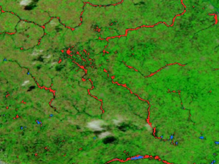
The new VIIRS near real-time product is already in use, and users are encouraged to explore this replacement option for MODIS-based flood products.
Blog
June 2, 2025

Image captured on Apr 10, 2025, by the MODIS instrument aboard the Terra platform.
Worldview Image of the Week
April 11, 2025
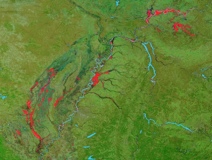
Image captured on February 25, 2025, by the MODIS instrument aboard the Terra platform.
Worldview Image of the Week
Feb. 27, 2025

Sentinel-1 synthetic aperture radar (SAR) data are used to create maps of surface water extent for research, planning, and disaster response.
News
Oct. 28, 2024
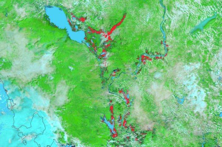
Image captured on August 7, 2024, by the MODIS instrument aboard NASA's Terra satellite.
Worldview Image of the Week
Aug. 8, 2024
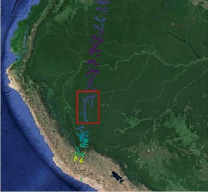
The Surface Water and Ocean Topography (SWOT) mission provides critical data for understanding Earth's water cycle, including data about freshwater systems that have not been available from any previous hydrology-related missions.
Data User Story
May 15, 2024

Image captured on May 1, 2024, by the MODIS instrument aboard NASA's Terra satellite.
Worldview Image of the Week
May 2, 2024
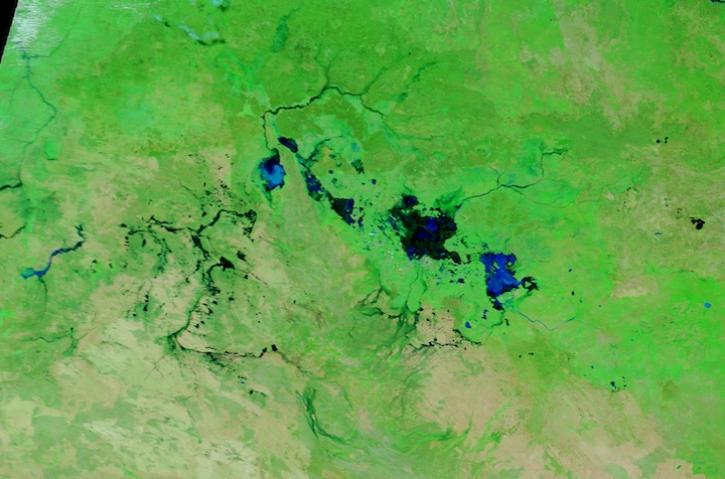
Image captured March 13, 2024, by the MODIS instrument aboard NASA's Terra satellite.
Worldview Image of the Week
March 14, 2024
SHOWING 8 OF 49