Delivery of Suomi National Polar-orbiting Partnership (Suomi NPP) satellite data products will cease on November 1, 2026. Data users should transition now to alternative products from NOAA-21 and NOAA-20.
Suomi NPP data announcement
Natural Hazards Learning Resources
Webinars, tutorials, data recipes and more to help you work with Natural Hazards.
Filters
Sentinel-1 synthetic aperture radar (SAR) imagery is sensitive to standing water, making it an ideal tool for mapping the extent of floodwater covering an area.
Data Recipe
Dec. 3, 2017
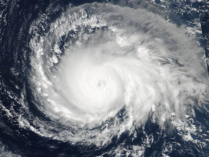
See how data from MODIS and VIIRS allow meteorologists to observe how a hurricane formed, where it went, how long it lasted, and its impact.
Data in Action
Oct. 19, 2017
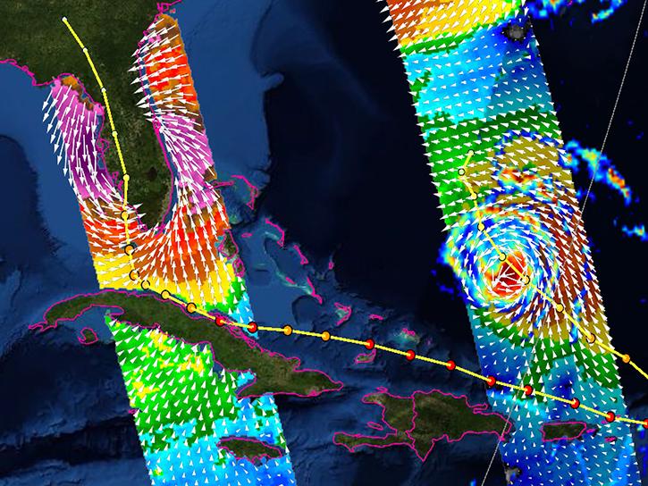
Learn how the interactive platform helps researchers analyze hurricane data.
Data in Action
Oct. 3, 2017
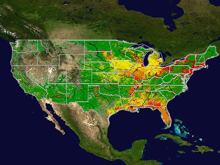
Learn how MODIS data help predict the spread of West Nile virus.
Data in Action
Sept. 17, 2017
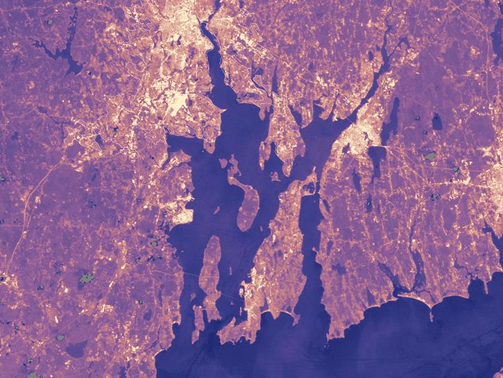
Population data from the Gridded Population of the World (GPW) project and land surface temperature data from MODIS show that higher UN-adjusted population density correlates with higher Urban Heat Island temperatures.
Data in Action
Aug. 4, 2017
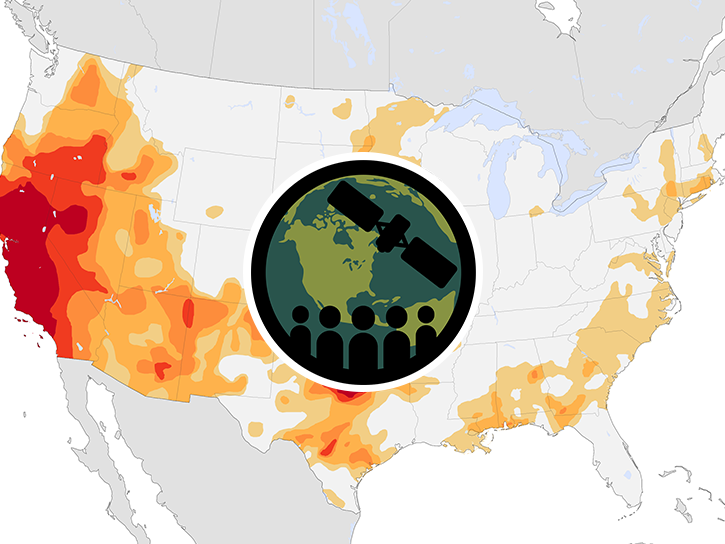
This ARSET training provides an overview of drought classification and web-based tools for drought monitoring and visualization.
Training
July 12-19, 2017
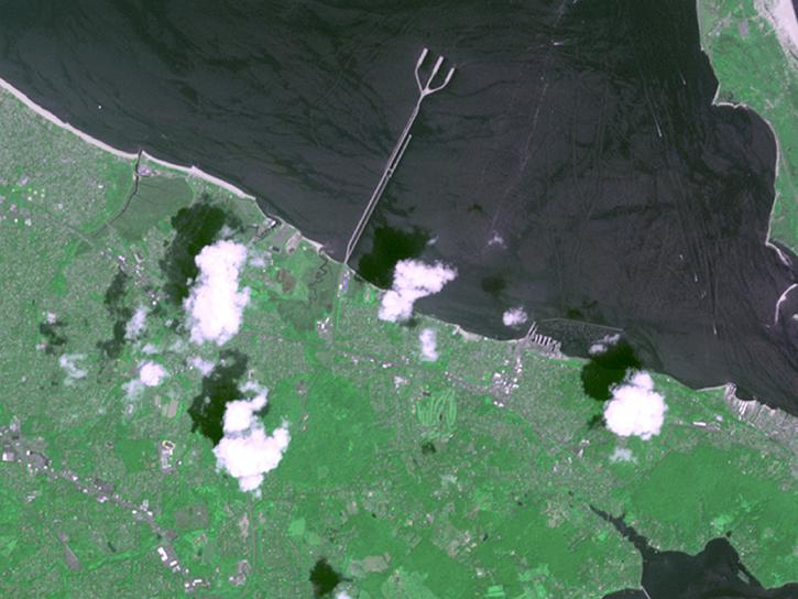
Follow Superstorm Sandy's lifecycle and impacts, and how the recovery of affected ecosystems were tracked by NASA remote sensing data.
Data in Action
July 6, 2017
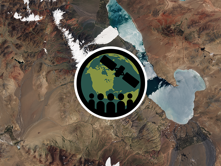
Esta capacitación cubre habilidades para adquirir y comprender datos de radar de apertura sintética (SAR) y sus aplicaciones.
Training
June 28 - July 6, 2017
SHOWING 8 OF 161
Get Help
QUESTIONS & SUPPORT
Have a question?
Get help with NASA Earth science data, datasets, tools, services, and metadata on the Earthdata Forum. Experienced staff in the data user community review and answer questions.
Get help on Earthdata ForumEarthdata
Forum
Forum