Delivery of Suomi National Polar-orbiting Partnership (Suomi NPP) satellite data products will cease on November 1, 2026. Data users should transition now to alternative products from NOAA-21 and NOAA-20.
Suomi NPP data announcement
Tropical Cyclones News
Articles, resources, and announcements from Tropical Cyclones.
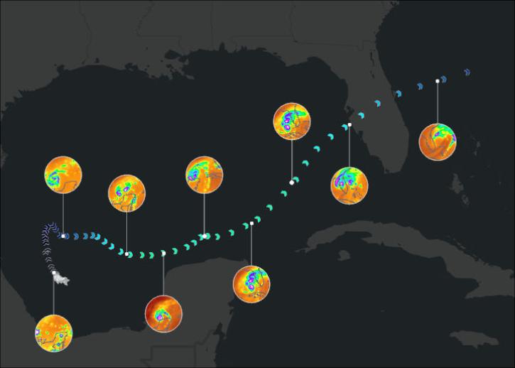
Join us on January 29 at 2PM ET (-05:00 UTC) to learn how to access and use MERRA-2, GPM, TROPICS, and LDAS data provided by NASA's Goddard Earth Sciences Data and Information Services Center (GES DISC) to investigate Hurricane Milton's milestones.
Webinar
Jan. 10, 2025
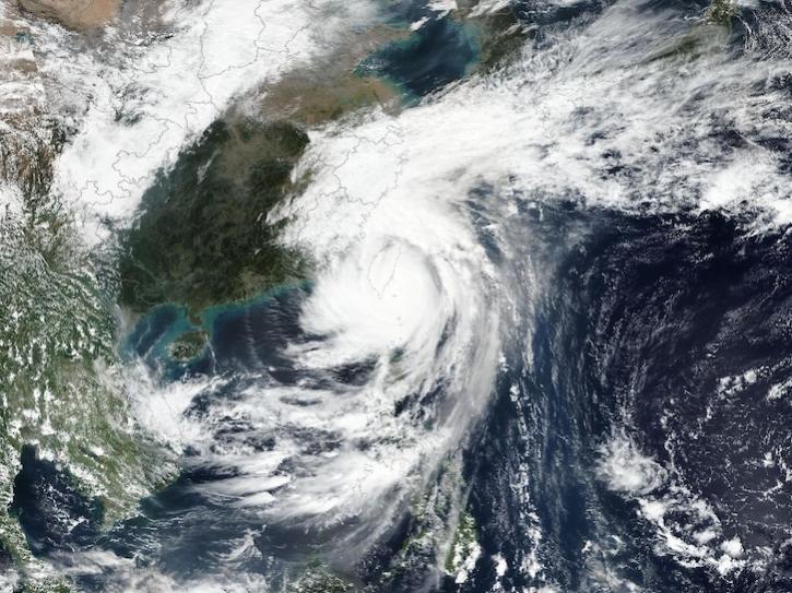
Image captured on Oct 31, 2024, by the VIIRS instrument aboard the joint NASA/NOAA Suomi NPP platform.
Worldview Image of the Week
Oct. 31, 2024

Sentinel-1 synthetic aperture radar (SAR) data are used to create maps of surface water extent for research, planning, and disaster response.
News
Oct. 28, 2024
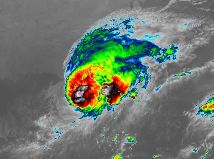
Image captured on Oct 10, 2024, at 8:00 p.m., EDT [00:00 UTC], by the Advanced Baseline Imager (ABI) instrument aboard the GOES-East platform.
Worldview Image of the Week
Oct. 10, 2024
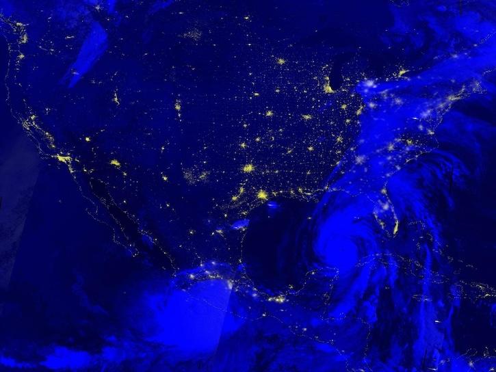
Image captured Sep 26, 2024, by the VIIRS instrument aboard the joint NASA/NOAA NOAA-20 platform.
Worldview Image of the Week
Sept. 26, 2024
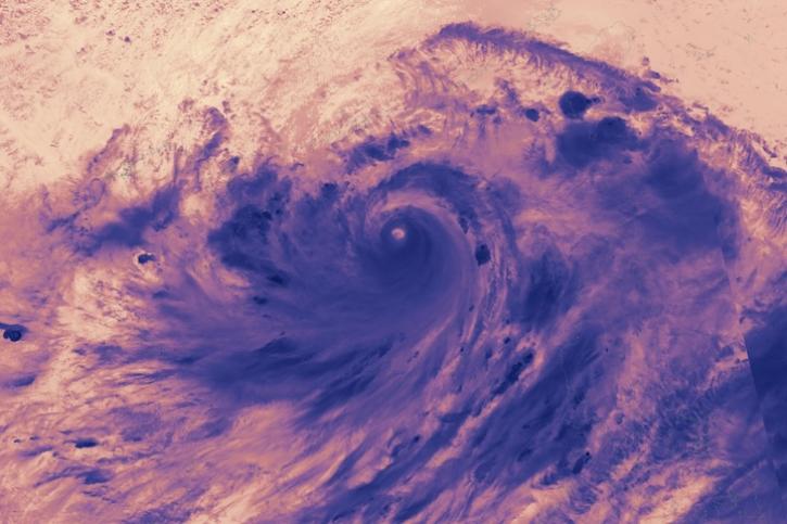
Image captured on Sep 5, 2024, by the VIIRS instrument aboard the joint NASA/NOAA NOAA-21 satellite.
Worldview Image of the Week
Sept. 5, 2024
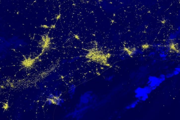
Image captured on July 9, 2024, by the VIIRS instrument aboard the joint NASA/NOAA NOAA-20 satellite.
Worldview Image of the Week
July 11, 2024
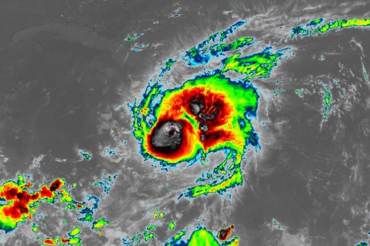
Image captured on July 3, 2024, at 7:00 a.m. EDT [11:00 UTC], by the ABI instrument aboard the GOES-East satellite.
Worldview Image of the Week
July 3, 2024
SHOWING 8 OF 156