Delivery of Suomi National Polar-orbiting Partnership (Suomi NPP) satellite data products will cease on November 1, 2026. Data users should transition now to alternative products from NOAA-21 and NOAA-20.
Suomi NPP data announcement
Wildfires News
Articles, resources, and announcements from Wildfires.
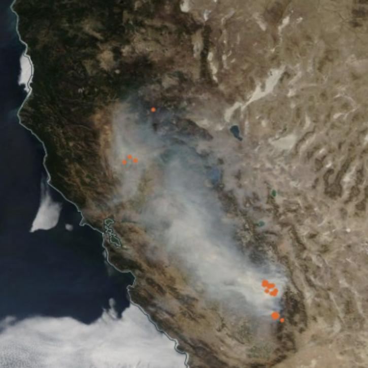
Image captured on Oct 3, 2021, by the MODIS instrument aboard the Aqua satellite.
Worldview Image of the Week
Oct. 28, 2021

Image captured on Aug 22, 2021, by the VIIRS instrument, aboard the joint NASA/NOAA NOAA 20 satellite.
Worldview Image of the Week
Oct. 22, 2021

Image captured on Sep 12, 2021, by the MODIS instrument aboard the Aqua satellite.
Worldview Image of the Week
Oct. 20, 2021

FIRMS has recently implemented a scalable user interface to better meet the needs and use cases of various users.
Blog
Aug. 24, 2021
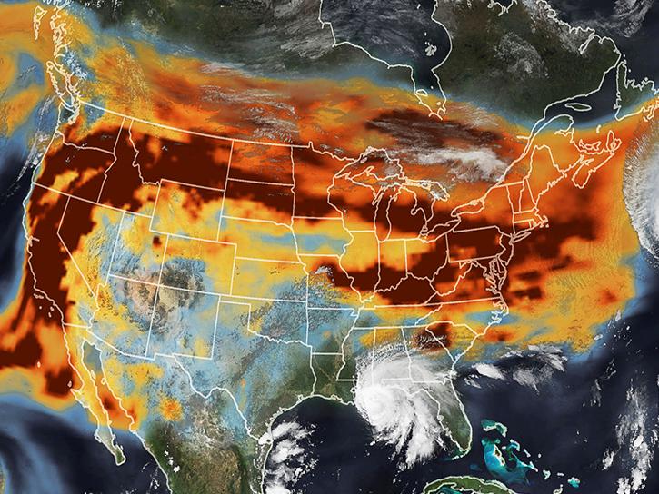
View smoke in FIRMS using Corrected Reflectance Imagery or aerosol indices.
Blog
July 15, 2021
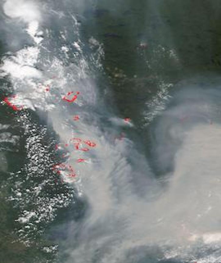
Image captured on 11 July 2021, by the VIIRS instrument, aboard the joint NASA/NOAA NOAA-20 satellite.
Worldview Image of the Week
July 12, 2021
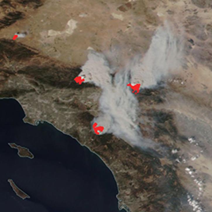
The new FIRMS US/Canada fire map includes the location and details of wildland and prescribed fires.
Blog
July 9, 2021

Image captured on 21 June 2021, by the MODIS instrument, aboard the Aqua satellite.
Worldview Image of the Week
June 30, 2021
SHOWING 8 OF 221