Delivery of Suomi National Polar-orbiting Partnership (Suomi NPP) satellite data products will cease on November 1, 2026. Data users should transition now to alternative products from NOAA-21 and NOAA-20.
Suomi NPP data announcement
Wildfires News
Articles, resources, and announcements from Wildfires.

New data layer lets users cut through the smoke to see surface features like active fire fronts and post-fire impacts.
Feature Article
June 24, 2022

Image captured on Jun 20, 2022, by the VIIRS instrument aboard the joint NASA/NOAA Suomi NPP satellite.
Worldview Image of the Week
June 22, 2022

Image captured on Jun 13, 2022, by the MODIS instrument aboard the Terra satellite.
Worldview Image of the Week
June 14, 2022
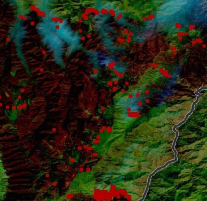
IMPACT was instrumental to a recent enhancement of NASA’s Fire Information for Resource Management System.
Blog
June 8, 2022

Image captured on Jun 5, 2022, by the VIIRS instrument aboard the joint NASA/NOAA Suomi NPP satellite.
Worldview Image of the Week
June 7, 2022
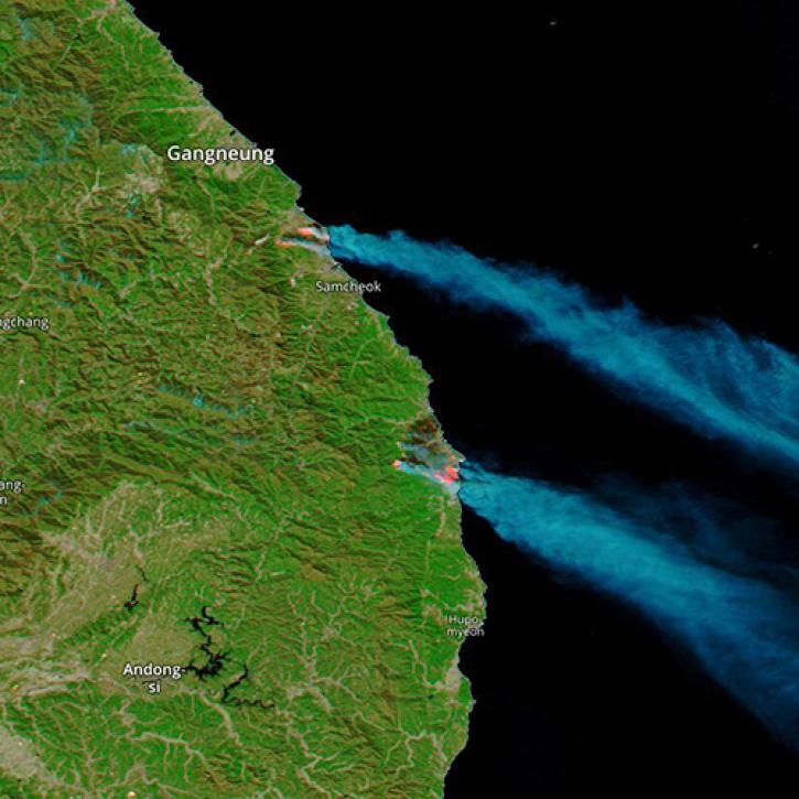
Image captured on Mar 5, 2022 by the MODIS instrument aboard the Aqua satellite.
Worldview Image of the Week
May 18, 2022
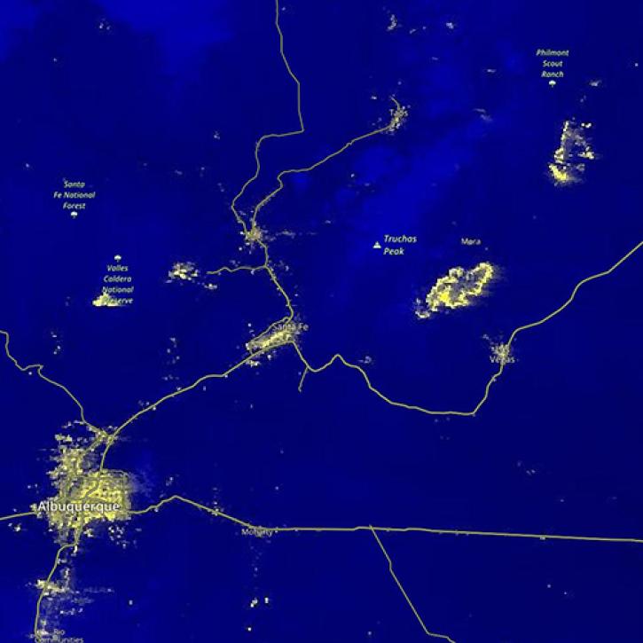
Image captured on Apr 23, 2022, by the VIIRS instrument aboard the joint NASA/NOAA Suomi NPP satellite.
Worldview Image of the Week
May 18, 2022

In collaboration with NASA's IMPACT project, dynamic false color imagery is now available through FIRMS to help better delineate burned areas.
Blog
April 18, 2022
SHOWING 8 OF 221