Delivery of Suomi National Polar-orbiting Partnership (Suomi NPP) satellite data products will cease on November 1, 2026. Data users should transition now to alternative products from NOAA-21 and NOAA-20.
Suomi NPP data announcement
Wildfires News
Articles, resources, and announcements from Wildfires.
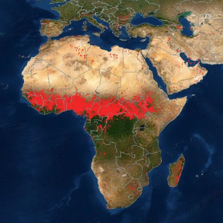
NASA Earth science data are being used in Africa’s Sahel region and across the continent to help track, study, and manage fires.
Feature Article
Nov. 16, 2022
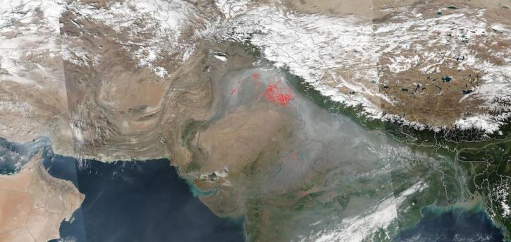
Image captured on Nov 1, 2022 by the VIIRS instrument aboard the joint NASA/NOAA Suomi NPP satellite.
Worldview Image of the Week
Nov. 1, 2022
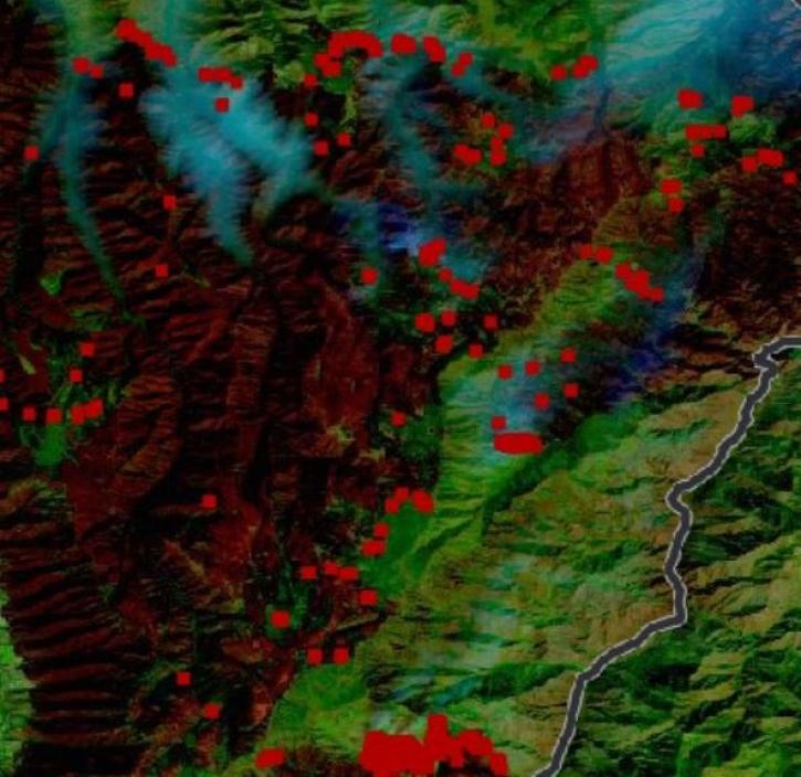
Thirty-meter data from the Operational Land Imager aboard Landsat 8 and 9 offer greater resolution than MODIS and VIIRS.
Feature Article
Oct. 31, 2022
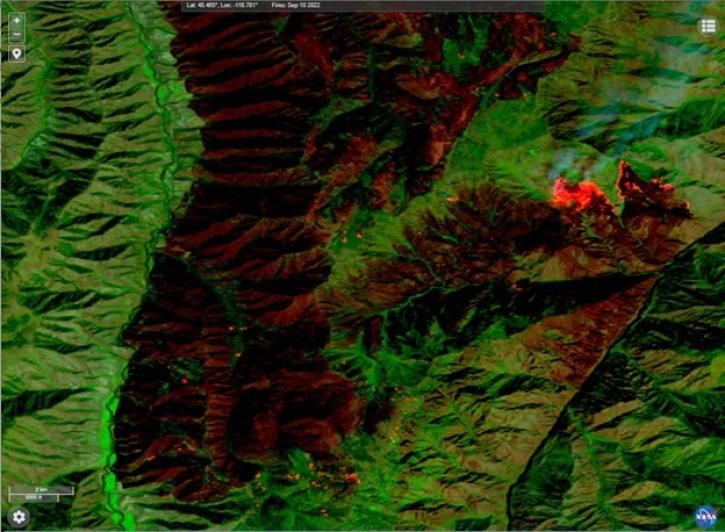
This new near real-time Landsat Fire and Thermal Anomaly active fire product is the result of an ongoing collaboration by NASA LANCE/FIRMS, University of Maryland, USDA Forest Service, and USGS EROS Data Center.
Blog
Oct. 31, 2022

Image captured on Oct 16, 2022, by the MODIS instrument aboard NASA's Aqua satellite.
Worldview Image of the Week
Oct. 17, 2022

Our experts break down the similarities and differences of Earth observation sensors operated by NASA.
Blog
Sept. 29, 2022

Image captured on Sep 10, 2022, by the VIIRS instrument aboard the joint NASA/NOAA Suomi NPP satellite.
Worldview Image of the Week
Sept. 13, 2022
The NASA Worldview Snapshots tool enables users to easily create satellite imagery subsets for anywhere in the world.
Blog
Sept. 11, 2022
SHOWING 8 OF 221