Delivery of Suomi National Polar-orbiting Partnership (Suomi NPP) satellite data products will cease on November 1, 2026. Data users should transition now to alternative products from NOAA-21 and NOAA-20.
Suomi NPP data announcement
Wildfires News
Articles, resources, and announcements from Wildfires.
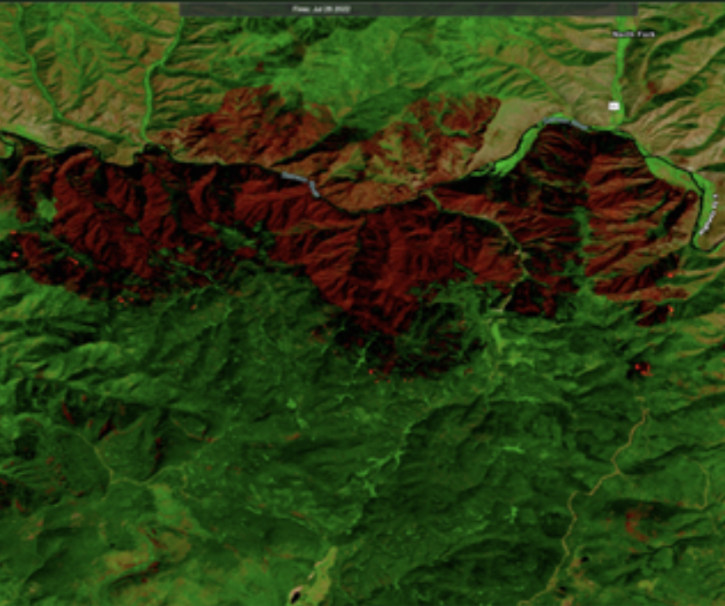
Users can now integrate HLS True Color and False Color Composite Imagery from Landsat 9 in addition to Landsat 8.
Blog
Aug. 23, 2022

Image captured on Jul 26, 2022 by the MODIS instrument aboard the Aqua satellite.
Worldview Image of the Week
July 26, 2022
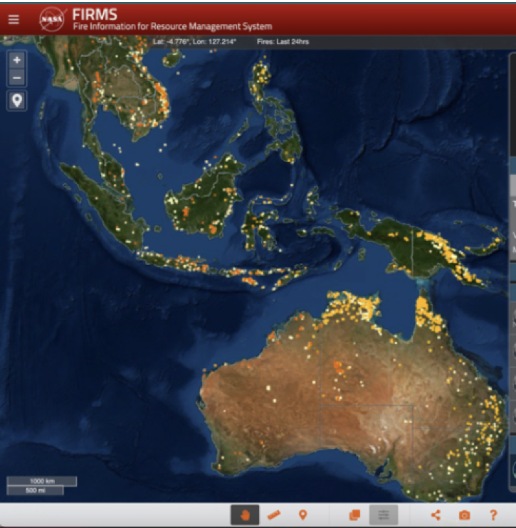
Learn how to change the colors of the fires/thermal anomalies, change the fire pixel size, show only day or night detections, and color code fires by fire radiative power, confidence, or time since detection.
Blog
July 24, 2022

Scientists develop routine service for wildfire detection in the continental United States with a latency of less than 60 seconds.
Feature Article
July 20, 2022

Image captured on Jul 19, 2022, by the MODIS instrument aboard the Aqua satellite.
Worldview Image of the Week
July 19, 2022
FIRMS recently integrated ultra real-time MODIS and VIIRS active fire data from multiple direct readout ground stations in the continental United States.
Blog
July 14, 2022

FIRMS fire map users now have the option of capturing a map view as a GeoTIFF image file.
Blog
July 13, 2022

Find EOSDIS dataset and data tool news, top stories, links to webinars and tutorials and other learning resources, Data Chats, and Data User Profiles.
News
July 1, 2022
SHOWING 8 OF 221