We are in the process of migrating all NASA Earth science data sites into Earthdata from now until end of 2026. Not all NASA Earth science data and resources will appear here until then. Thank you for your patience as we make this transition.
Read about the Web Unification Project
Land Surface Learning Resources
Webinars, tutorials, data recipes and more to help you work with Land Surface.
Filters

Read highlights of three publications that detail how NASA Earth observation data informs earthquake prediction, the effects of wildfires on vegetation, and the impact of agriculture on African birds.
Data in Action
July 19, 2021

Essential variables are known to be critical for observing and monitoring a given facet of the Earth system
Data Basics
July 6, 2021

This ARSET training covers the Google Earth Engine Code Editor and hands-on exercises for processes integral to optical imagery analysis.
Training
June 16-30, 2021

Learn how to use the Vertex tool to process synthetic aperture radar (SAR) data.
Tutorial
May 20, 2021
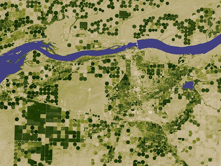
NASA Earth science data are a key component in meeting the 17 Sustainable Development Goals (SDGs) to build a better world for people and our planet.
Data Basics
May 18, 2021
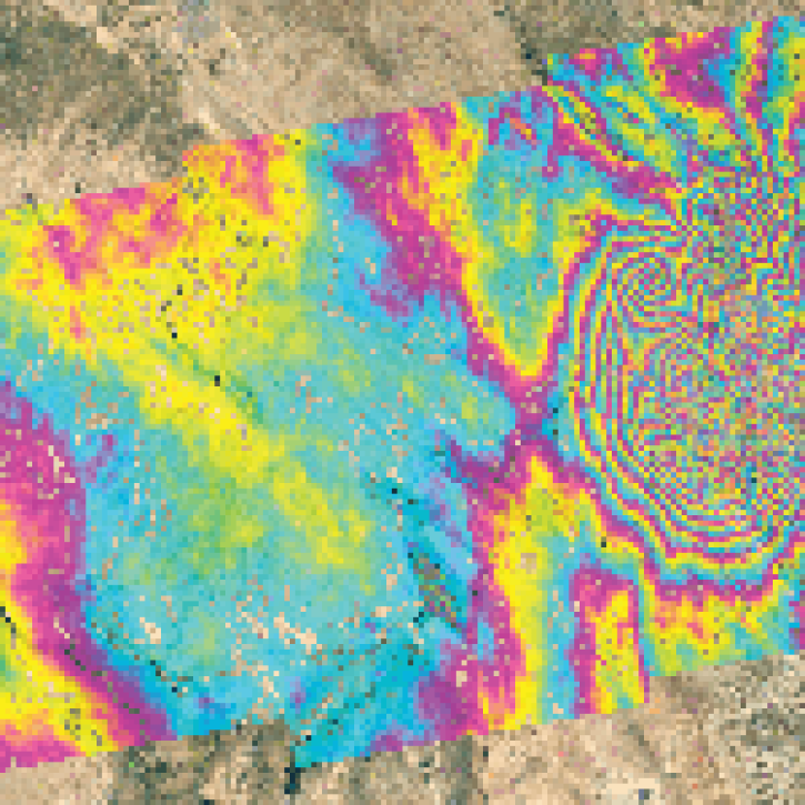
Order Sentinel-1 interferometric synthetic aperture radar (InSAR) datasets from NASA’s Alaska Satellite Facility Distributed Active Archive Center (ASF DAAC).
StoryMap
April 23, 2021


The webinar introduces satellite remote sensing, radiance conversion, image classification, and geophysical product creation, and more.
Webinar
Jan. 29, 2021
SHOWING 8 OF 203
Frequently Asked Questions
Earthdata Forum
Our online forum provides a space for users to browse thousands of FAQs about research needs, data, and data applications. You can also submit new questions for our experts to answer.
Submit Questions to Earthdata Forumand View Expert Responses