We are in the process of migrating all NASA Earth science data sites into Earthdata from now until end of 2026. Not all NASA Earth science data and resources will appear here until then. Thank you for your patience as we make this transition.
Read about the Web Unification Project
Land Surface Learning Resources
Webinars, tutorials, data recipes and more to help you work with Land Surface.
Filters

Esta capacitación de ARSET cubre algunas de las dificultades asociadas con la teledetección de ecosistemas costeros.
Training
Aug. 25 - Sept. 8, 2020
This ARSET training covers some of the difficulties associated with remote sensing of coastal ecosystems.
Training
Aug. 25 - Sept. 8, 2020
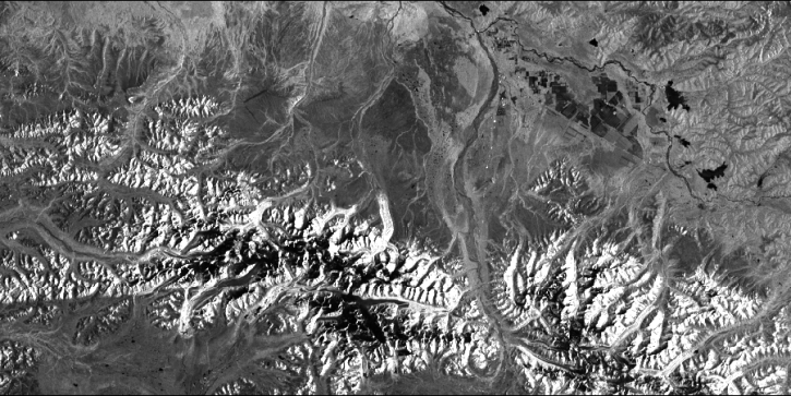
A basic introduction to SAR data collection, the datasets that are available from NASA's Alaska Satellite Facility Distributed Active Archive Center and the processing required to extract useful information from the data.
Webinar
July 10, 2020
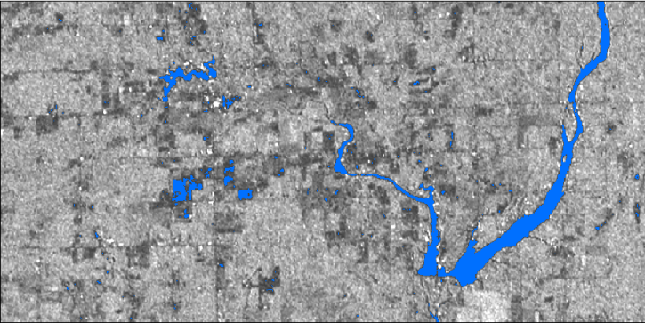
In this webinar, we will demonstrate approaches for using SAR datasets in GIS environments to detect landscape change and map flooding events with a focus on Sentinel-1 datasets.
Webinar
July 10, 2020

This ARSET training focuses on the use of remote sensing to understand global phenology.
Training
June 30 - July 14, 2020
Learn how to view Seasat HDF5 files in Alaska Satellite Facility Distributed Active Archive Center (ASF DAAC) MapReady in this NASA data recipe.
Data Recipe
May 20, 2020

Researchers used NASA satellite data to improve water resource management in South and Southeast Asia.
Data in Action
May 13, 2020

Esta capacitación de ARSET introduce cómo usar datos SAR para mapear y monitorear cambios en los bosques, la cobertura terrestre y los manglares.
Training
May 12-31, 2020
SHOWING 8 OF 203
Frequently Asked Questions
Earthdata Forum
Our online forum provides a space for users to browse thousands of FAQs about research needs, data, and data applications. You can also submit new questions for our experts to answer.
Submit Questions to Earthdata Forumand View Expert Responses