Delivery of Suomi National Polar-orbiting Partnership (Suomi NPP) satellite data products will cease on November 1, 2026. Data users should transition now to alternative products from NOAA-21 and NOAA-20.
Suomi NPP data announcement
Land Surface Learning Resources
Webinars, tutorials, data recipes and more to help you work with Land Surface.
Filters
The webinar introduces satellite remote sensing, radiance conversion, image classification, and geophysical product creation, and more.
Webinar
Jan. 29, 2021
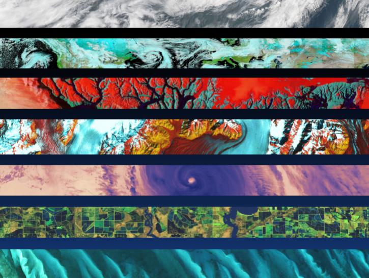
Identify change using the log difference between two NASA Sentinel-1 Radiometric Terrain Corrected (RTC) images.
Tutorial
Nov. 17, 2020
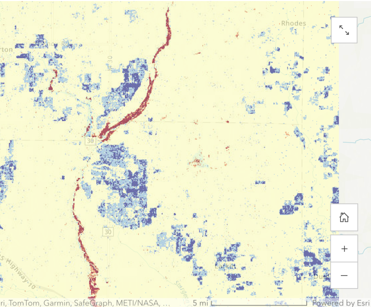
Identify change using the log difference between two images with data from NASA's Alaska Satellite Facility Distributed Active Archive Center (ASF DAAC).
StoryMap
Nov. 17, 2020
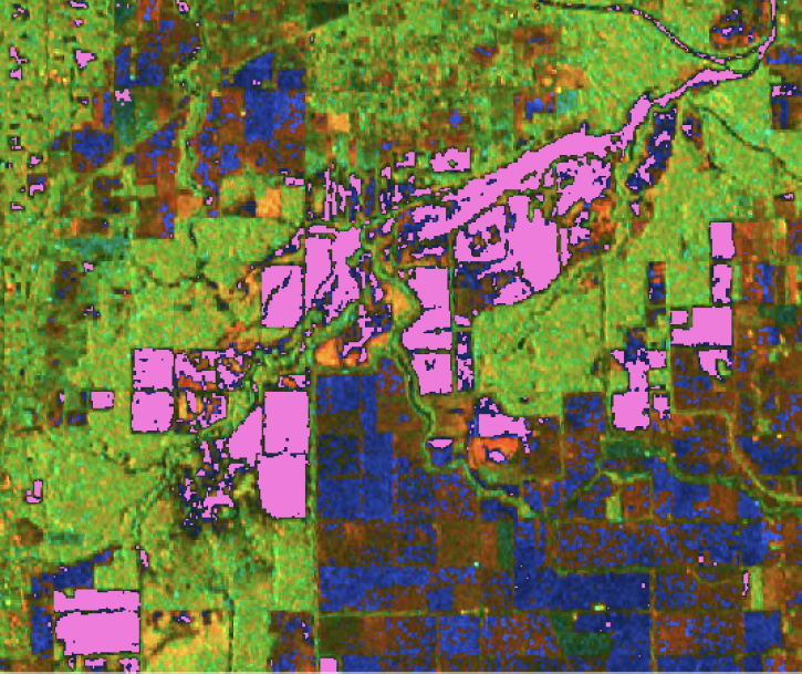
Generate a water mask using a dB threshold approach with data from NASA’s Alaska Satellite Facility Distributed Active Archive Center (ASF DAAC).
StoryMap
Nov. 16, 2020

Learn to convert among common synthetic aperture radar (SAR) scales including Power, Amplitude, and dB.
Tutorial
Nov. 16, 2020
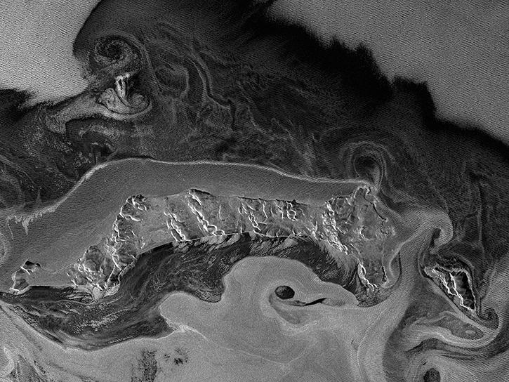
Learn how to convert among common SAR scales, including power, amplitude, and dB with data from NASA’s Alaska Satellite Facility Distributed Active Archive Center (ASF DAAC).
StoryMap
Nov. 16, 2020

Learn how to order Radiometrically Terrain Corrected (RTC) Sentinel-1 synthetic aperture radar (SAR) products through Vertex.
Tutorial
Nov. 11, 2020
SHOWING 8 OF 204
Frequently Asked Questions
Earthdata Forum
Our online forum provides a space for users to browse thousands of FAQs about research needs, data, and data applications. You can also submit new questions for our experts to answer.
Submit Questions to Earthdata Forumand View Expert Responses