Delivery of Suomi National Polar-orbiting Partnership (Suomi NPP) satellite data products will cease on November 1, 2026. Data users should transition now to alternative products from NOAA-21 and NOAA-20.
Suomi NPP data announcement
Land Surface News
Articles, resources, and announcements from Land Surface.

Who uses NASA Earth science data? Dr. Anne Nolin, to study mountain ecosystems.
Data User Story
Dec. 22, 2020

Who uses NASA Earth science data? David Mocko, for using land-surface models to study drought.
Data User Story
Dec. 22, 2020

Who uses NASA Earth science data? Dave Johnson, to estimate U.S. crop production.
Data User Story
Dec. 22, 2020
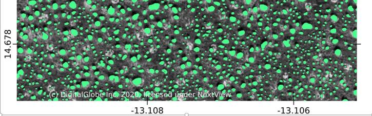
Using commercial satellite data and machine learning, scientists discovered a surprisingly large number of trees in Africa's drylands.
Feature Article
Nov. 19, 2020
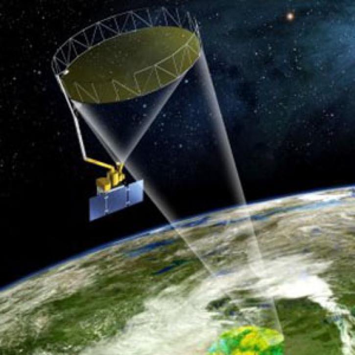
NASA's SMAP team turns raw satellite data into more than a dozen data products for data users around the world.
Feature Article
Nov. 4, 2020

Global composites of 30m resolution Landsat imagery available in Worldview
Feature Article
Nov. 4, 2020

Ground validation campaigns connect the dots between what is being remotely-sensed by a satellite instrument and ongoing Earth processes.
Feature Article
Nov. 4, 2020

Colored bands in an interferogram show the gradual sinking of land (subsidence) in Arizona’s McMullen Valley Groundwater Basin between April 2010 and May 2015.
Feature Article
Nov. 4, 2020
SHOWING 8 OF 288