Delivery of Suomi National Polar-orbiting Partnership (Suomi NPP) satellite data products will cease on November 1, 2026. Data users should transition now to alternative products from NOAA-21 and NOAA-20.
Suomi NPP data announcement
Land Surface News
Articles, resources, and announcements from Land Surface.

Dr. Don McNeil at Prince of Songkla University in Thailand uses NASA Earth observing data and tools to teach his students about the natural world.
Feature Article
Nov. 4, 2020
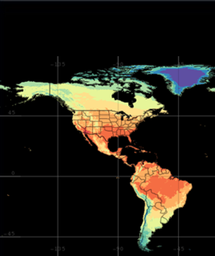
Three new global data sets released by NASA’s Land Information System (LIS) will aid in land surface analysis and support famine and drought assessment.
News
Nov. 4, 2020

NASA’s 2020 Research Opportunities in Space and Earth Science (ROSES) solicitation includes an opportunity for citizen science projects.
Feature Article
Nov. 4, 2020

Observe changes in land surface temperature over the course of 2017, with NASA Terra Moderate Resolution Imaging Spectroradiometer (MODIS) images.
Feature Article
Nov. 4, 2020
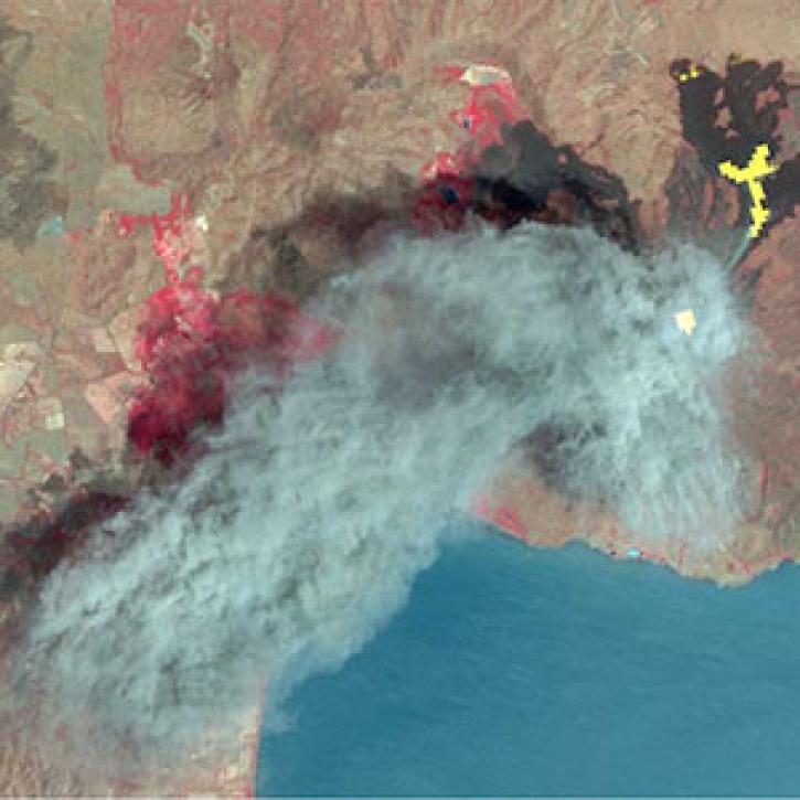
As of 1 April 2016, all Advanced Spaceborne Thermal Emission Reflection Radiometer (ASTER) data products are available at no charge from LP DAAC.
News
Nov. 4, 2020
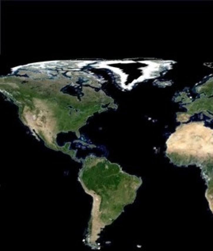
NASA’s Making Earth System Data Records for Use in Research Environments (MEaSUREs) Program enables the research community to enhance NASA Earth science data products.
Feature Article
Nov. 4, 2020
After more than 20 years in space, the five instruments aboard NASA’s Terra satellite continue their singular achievement of compiling a climate data record of Earth.
Feature Article
Nov. 4, 2020

Image captured on 19 July 2020, by the MODIS instrument, aboard the Aqua satellite.
Worldview Image of the Week
Nov. 4, 2020
SHOWING 8 OF 288