Delivery of Suomi National Polar-orbiting Partnership (Suomi NPP) satellite data products will cease on November 1, 2026. Data users should transition now to alternative products from NOAA-21 and NOAA-20.
Suomi NPP data announcement
Land Surface News
Articles, resources, and announcements from Land Surface.
The First ISLSCP Field Experiment (FIFE) provides information about Earth's biogeochemical dynamics.
Feature Article
July 22, 2020
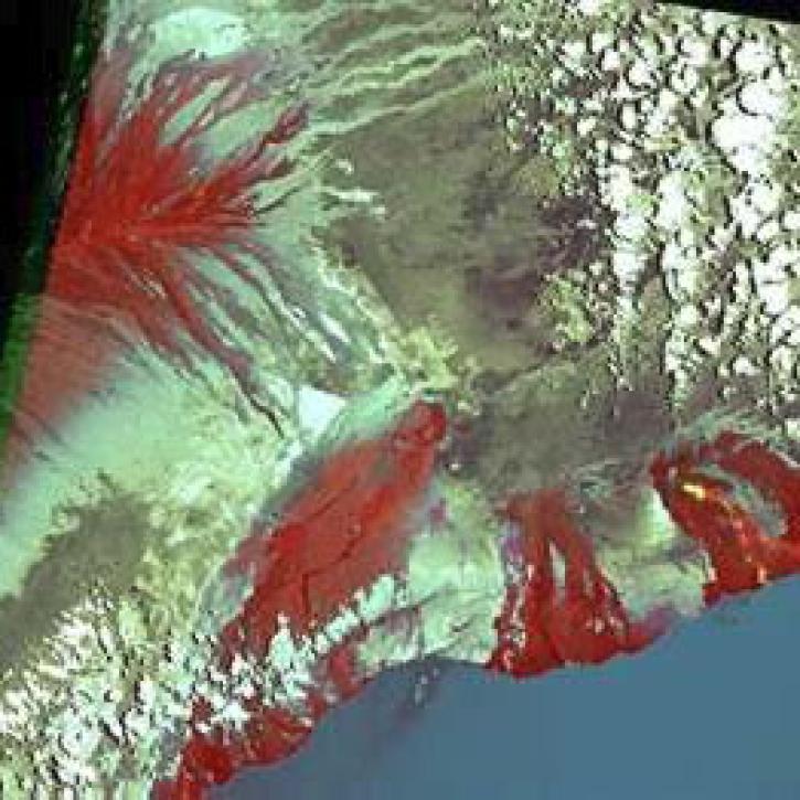
Scientists use gridded population of the world (GPW) data to study hazards and populations.
Feature Article
July 22, 2020

Scientists use Pathfinder AVHRR (PAL) data to study land cover.
Feature Article
July 22, 2020
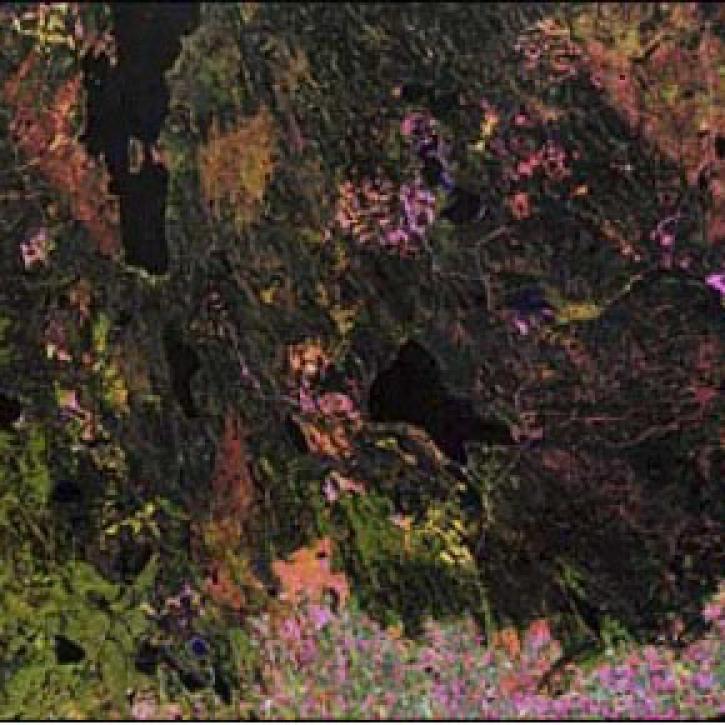

Craters on Earth's surface provide scientists with clues about how to identify craters on Mars.
Feature Article
July 22, 2020

Improved satellite data from Landsat and AVHRR produce false color maps for environmental scientists.
Feature Article
July 22, 2020

Interpreting receding glaciers are an important part of the GEWEX GCIP study regions, centered on the Mississippi River Basin.
Feature Article
July 22, 2020
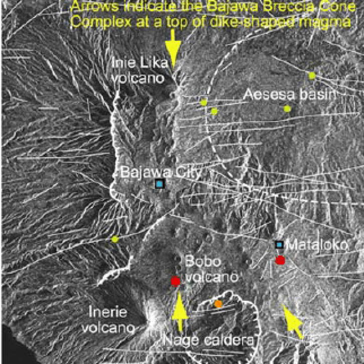
Synthetic Aperture Radar aboard the JERS-1 satellite collects data from the world's tropical forests.
Feature Article
July 22, 2020
SHOWING 8 OF 288