Delivery of Suomi National Polar-orbiting Partnership (Suomi NPP) satellite data products will cease on November 1, 2026. Data users should transition now to alternative products from NOAA-21 and NOAA-20.
Suomi NPP data announcement
Land Surface News
Articles, resources, and announcements from Land Surface.

Researchers link the Greenland snow melt anomaly to the eruption of Mount Pinatubo.
Feature Article
July 22, 2020
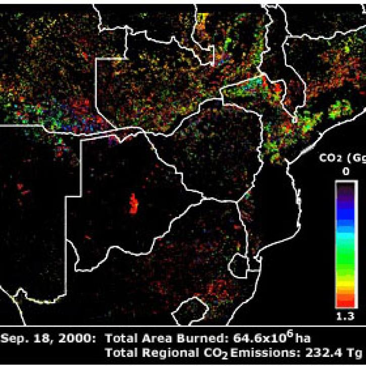
Publication from NASA ESDIS describing research uses of data from EOSDIS - land systems can change from something desirable to something undesirable.
Feature Article
July 22, 2020
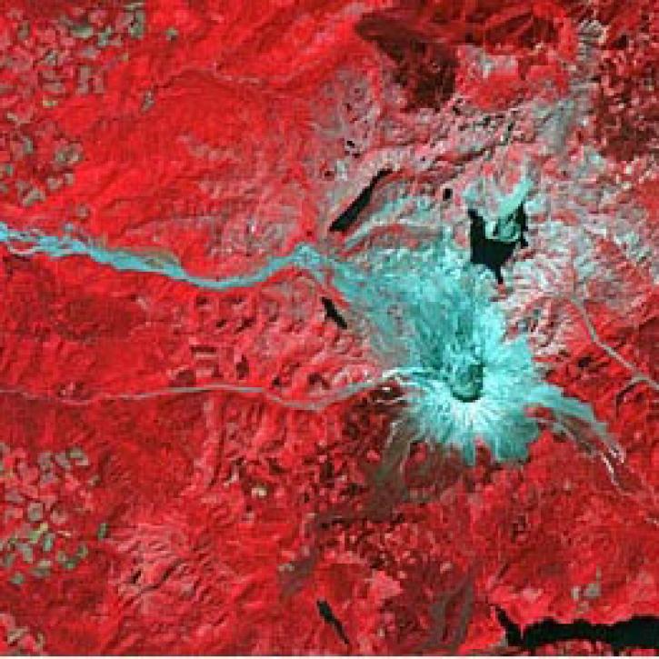
Scientists study Mount Unzen in Japan to explore the use of satellite data to monitor volcanic domes.
Feature Article
July 21, 2020
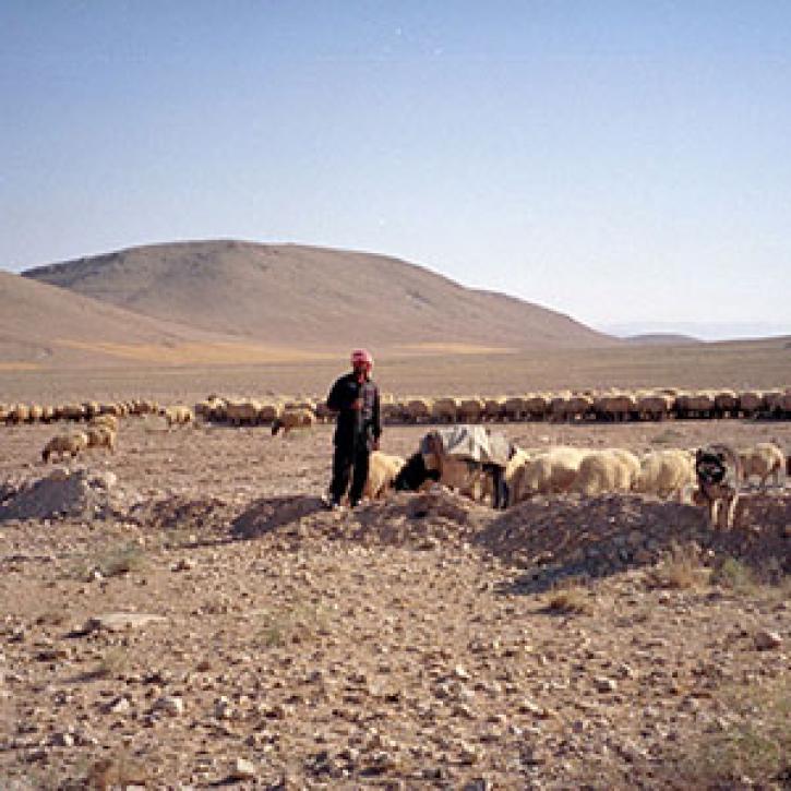
Remote estimates of crop yields help international aid agencies decide how to act.
Feature Article
July 21, 2020
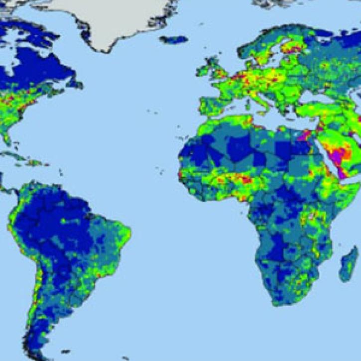
Research shows where people use more than the environment can provide, with implications for food security.
Feature Article
July 21, 2020
Researchers at ECMWF developed and tested a new surface model to reflect soil conditions.
Feature Article
July 21, 2020
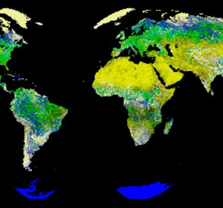
New logic for classifying vegetation using the Global Land AVHRR Dataset (GLAD).
Feature Article
July 21, 2020

Finding a model that doesn't require recalibration from watershed to watershed.
Feature Article
July 21, 2020
SHOWING 8 OF 288