Delivery of Suomi National Polar-orbiting Partnership (Suomi NPP) satellite data products will cease on November 1, 2026. Data users should transition now to alternative products from NOAA-21 and NOAA-20.
Suomi NPP data announcement
Land Surface News
Articles, resources, and announcements from Land Surface.

Bock provides NASA's Crustal Dynamics Data Information System (CDDIS) with data products based on ground displacement data.
Data User Story
Aug. 24, 2023
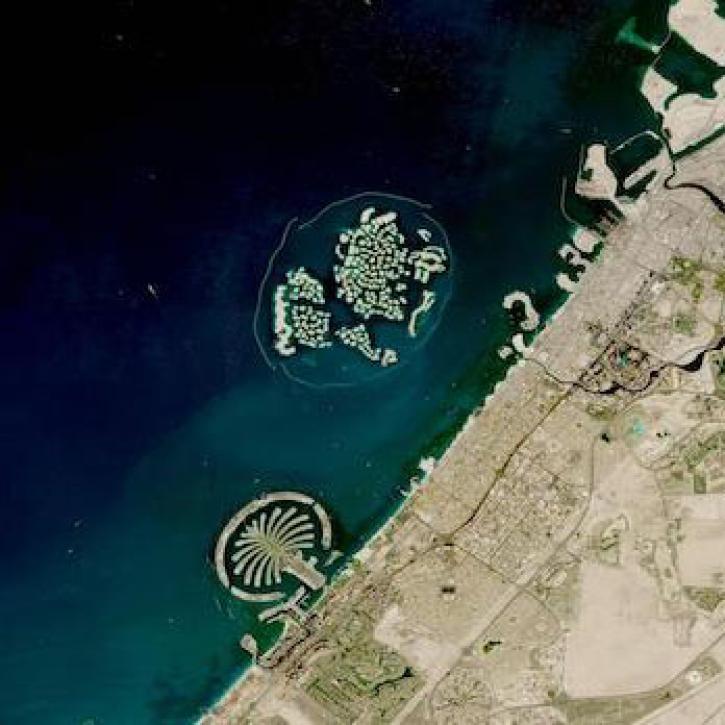
Based on NASA's Harmonized Landsat Sentinel-2 (HLS) data, the artificial intelligence (AI) foundation model is a milestone in the application of AI for Earth science.
News
Aug. 3, 2023
Interferometric synthetic aperture radar (InSAR) data helps researchers study fault creep, which occurs when only part of the fault moves.
Data User Story
July 27, 2023
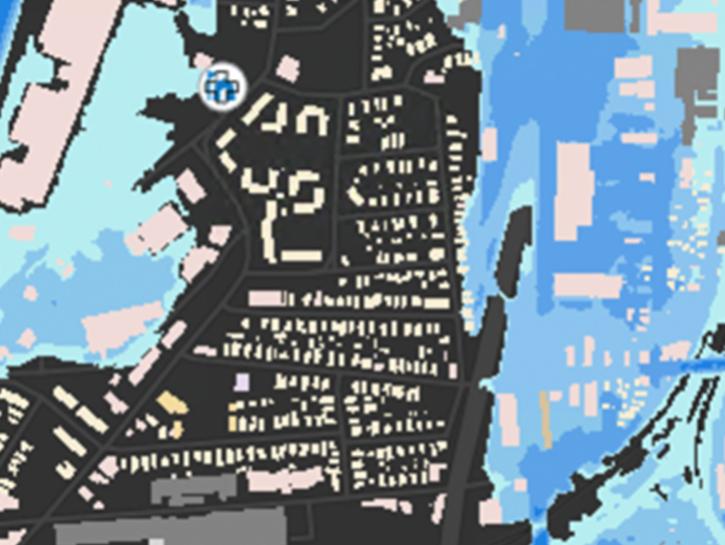
The New York State Flood Impact Support System Application visualizes building footprint data for nearly all New York State's infrastructure.
News
July 7, 2023

OpenScienceLab promotes open science by reducing barriers to working with synthetic aperture radar (SAR) data in the cloud.
Feature Article
May 31, 2023
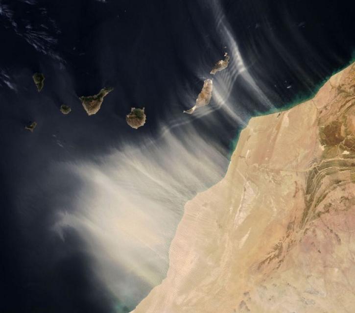
Data from the EMIT instrument help scientists better understand the role mineral dust plays in heating and cooling the atmosphere.
Feature Article
May 26, 2023

Data from NASA’s Land Processes DAAC help Dr. Helen Poulos understand climate-induced change in the forests of the Southwestern U.S.
Data User Story
May 25, 2023
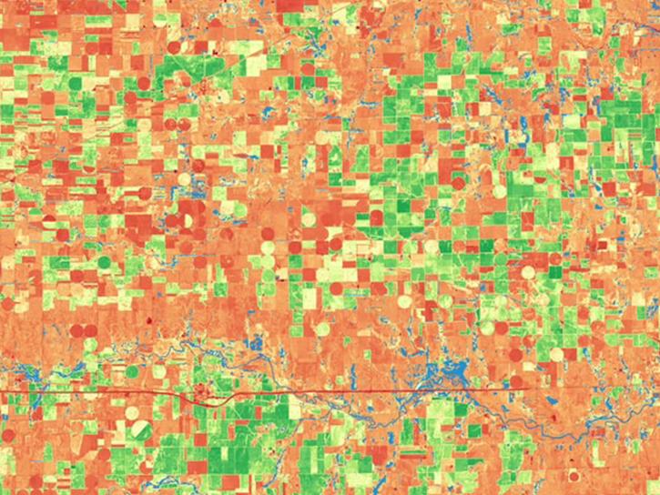
The release of the HLS codebase gives product users greater visibility into the project’s image processing pipeline.
News
May 19, 2023
SHOWING 8 OF 288