Delivery of Suomi National Polar-orbiting Partnership (Suomi NPP) satellite data products will cease on November 1, 2026. Data users should transition now to alternative products from NOAA-21 and NOAA-20.
Suomi NPP data announcement
Land Surface News
Articles, resources, and announcements from Land Surface.
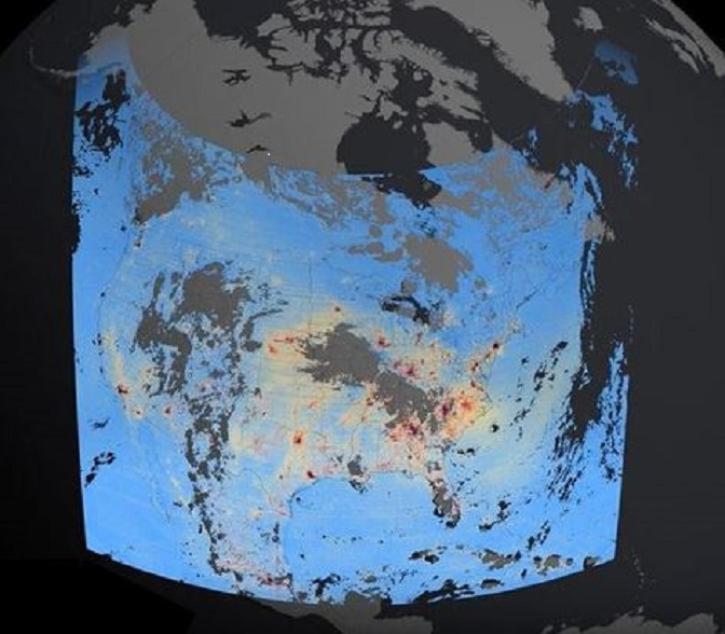
These new Tropospheric Emissions: Monitoring of Pollution (TEMPO) products will aid validation efforts and algorithm development, and will be used to expand the mission’s higher-level products.
Feature Article
Feb. 27, 2024

NASA has long used imaging spectroscopy to peer into space. Now, scientists are using the technology to take a closer look at Earth.
Data User Story
Feb. 15, 2024
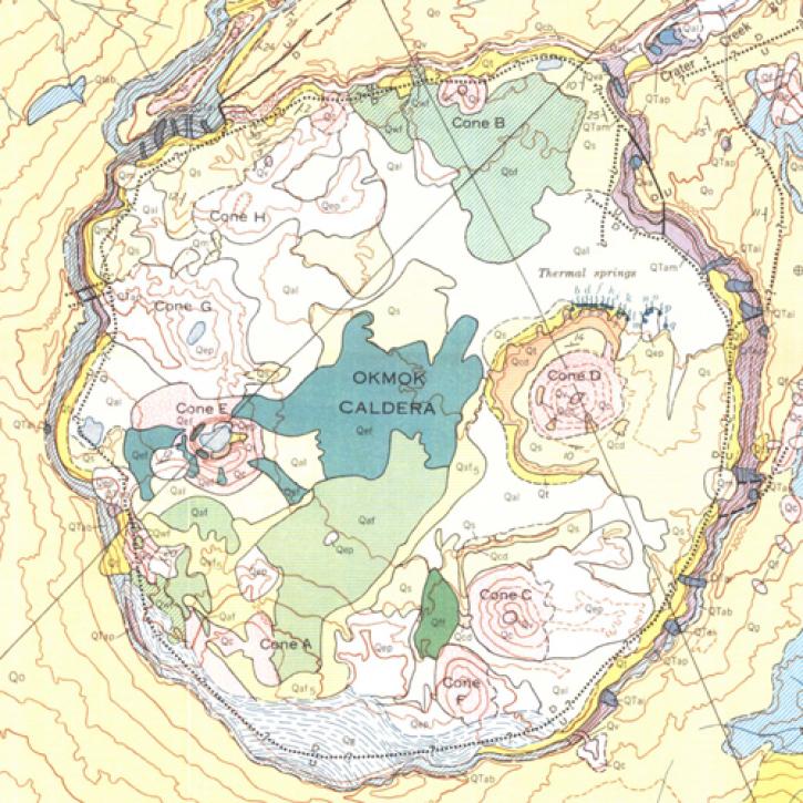
A NASA-funded study used cloud-based synthetic aperture radar data to measure changes in volcanoes in the remote Aleutian Islands.
Feature Article
Jan. 19, 2024
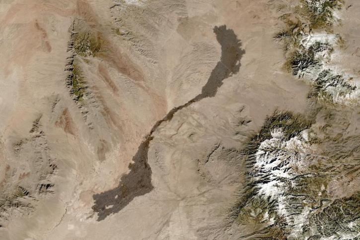
Image captured on Jan 13, 2024, by the MSI instrument aboard the ESA (European Space Agency) Sentinel-2A satellite.
Worldview Image of the Week
Jan. 18, 2024
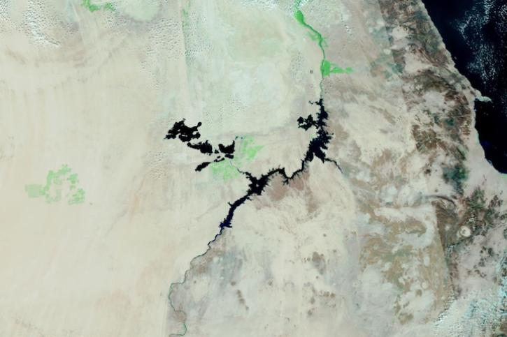
Image captured on Dec 28, 2023, by the VIIRS instrument aboard the joint NASA/NOAA Suomi NPP satellite.
Worldview Image of the Week
Dec. 28, 2023
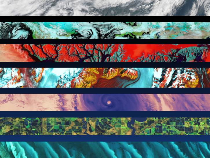
The Alaska Satellite Facility announced the availability of new synthetic aperture radar data products from the Observational Products for End-Users from Remote Sensing Analysis (OPERA) project.
News
Dec. 22, 2023
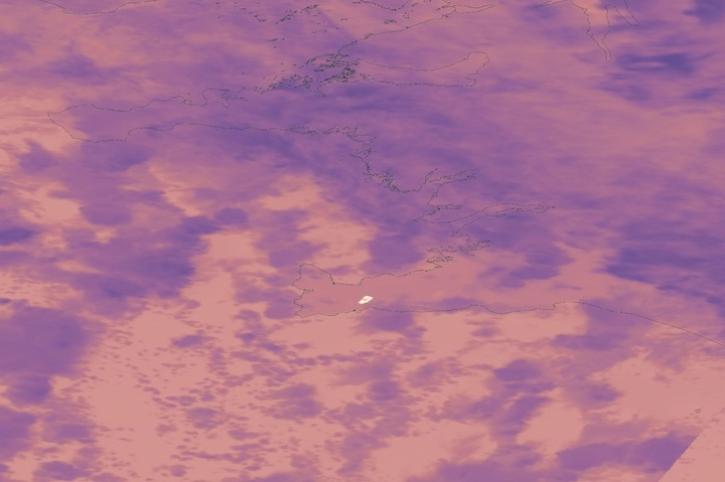
Image captured on Dec 19, 2023, by the VIIRS instrument aboard the joint NASA/NOAA Suomi NPP satellite.
Worldview Image of the Week
Dec. 21, 2023
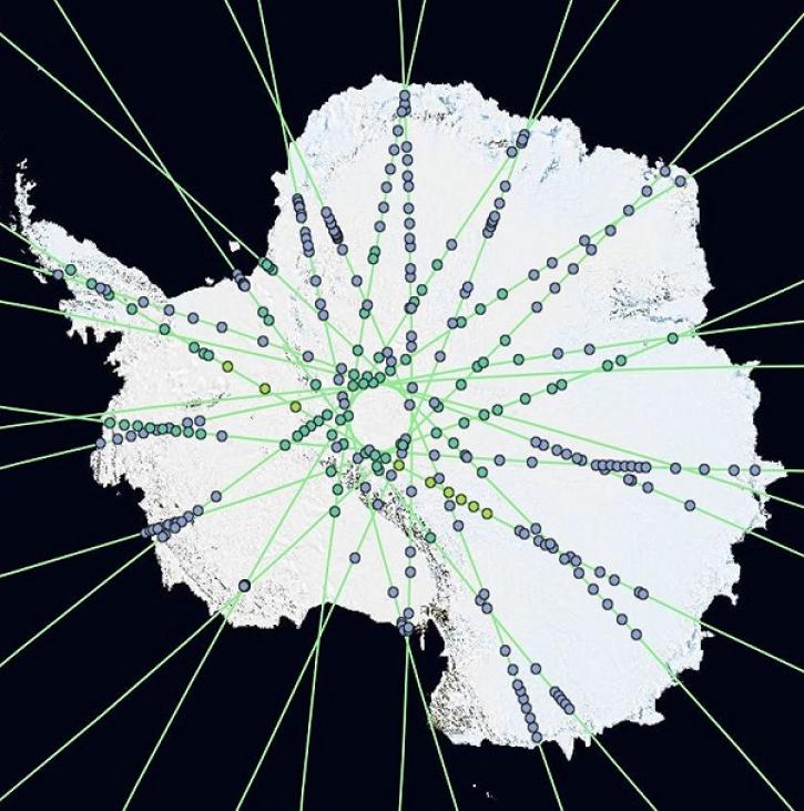
OpenAltimetry lets users explore changes on Earth’s surface around the globe and over time, and all they need is a web browser.
Feature Article
Dec. 20, 2023
SHOWING 8 OF 288