Delivery of Suomi National Polar-orbiting Partnership (Suomi NPP) satellite data products will cease on November 1, 2026. Data users should transition now to alternative products from NOAA-21 and NOAA-20.
Suomi NPP data announcement
Land Surface News
Articles, resources, and announcements from Land Surface.
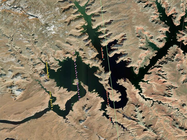
This is the first in a five-part webinar series to introduce NASA's Ice, Cloud, and land Elevation-2 (ICESat-2) platform and the platform's data, tools, and applications.
Webinar
Oct. 28, 2024
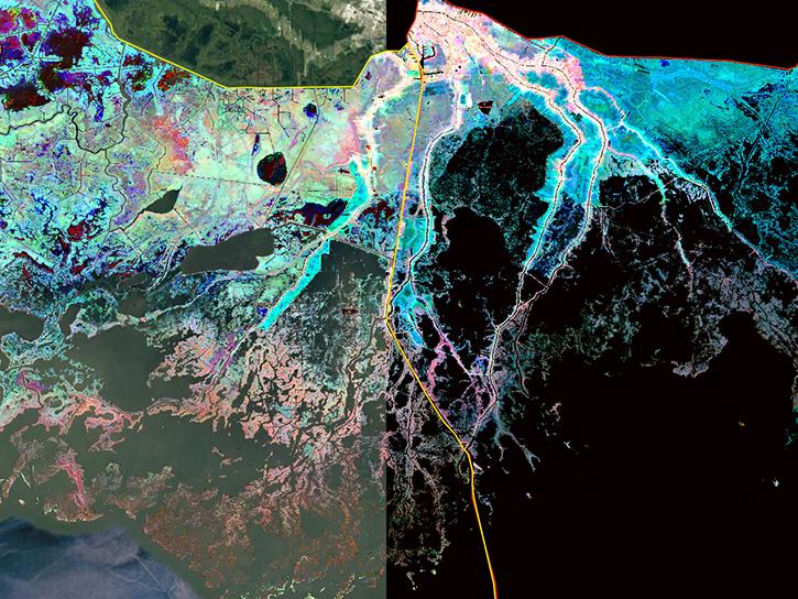
Join us to learn more about datasets and tools that enable the harmonization of remote sensing and in situ ecological data products for site-based research.
Webinar
Aug. 22, 2024
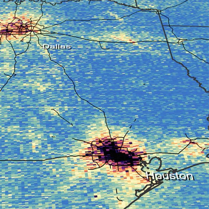
Assessment of the 2022 Satellite Needs Working Group (SNWG) survey identified six science activities to address U.S. Federal civilian agency satellite needs.
News
July 18, 2024
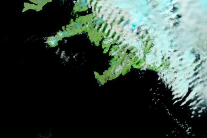
Image captured on June 5, 2024, by the VIIRS instrument aboard the joint NASA/NOAA Suomi NPP satellite.
Worldview Image of the Week
June 6, 2024
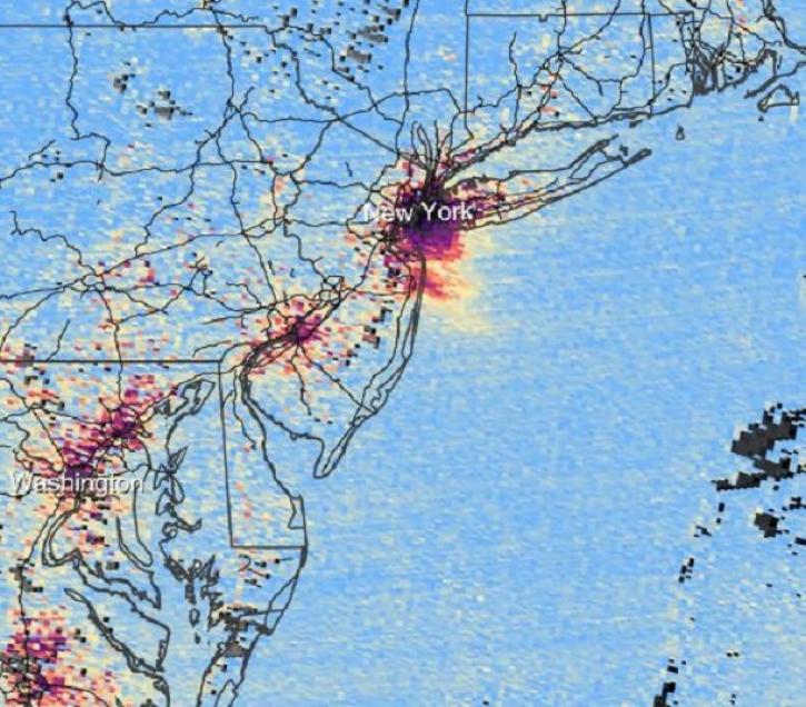
The beta release of Tropospheric Emissions: Monitoring of Pollution (TEMPO) mission data products lets users begin developing applications using these data.
News
May 30, 2024
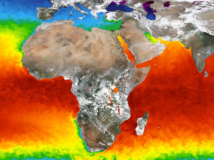
New ocean color, nighttime lights, corrected reflectance, and other layers have been added to Worldview's extensive catalog of satellite imagery.
News
May 14, 2024
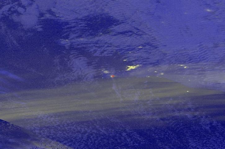
Image captured on Apr 16, 2024, by the VIIRS instrument aboard the joint NASA/NOAA Suomi NPP satellite.
Worldview Image of the Week
April 18, 2024
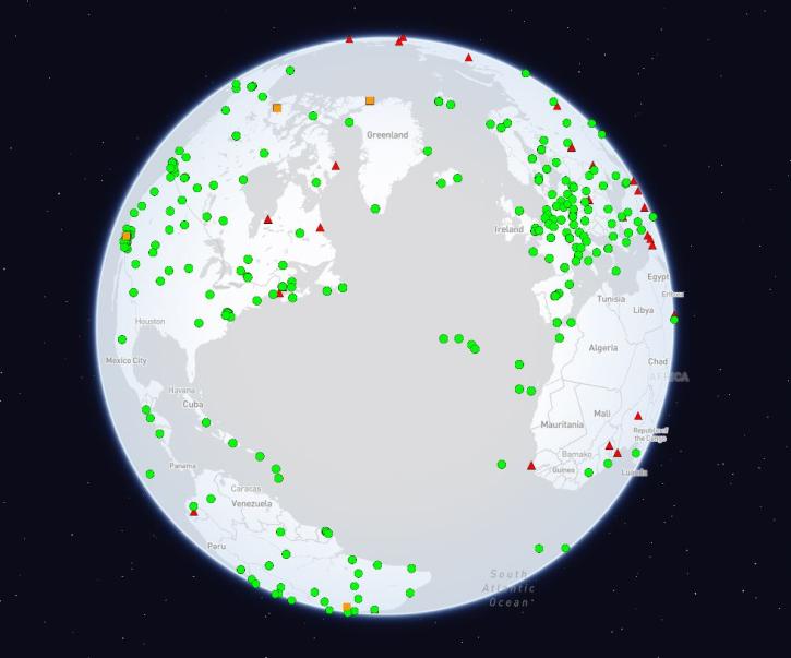
The International Global Navigation Satellite Systems Service (IGS), a voluntary federation of more than 200 self-funding entities, celebrates three decades of providing high-quality data.
Feature Article
Feb. 29, 2024
SHOWING 8 OF 288