We are in the process of migrating all NASA Earth science data sites into Earthdata from now until end of 2026. Not all NASA Earth science data and resources will appear here until then. Thank you for your patience as we make this transition.
Read about the Web Unification Project
Normalized Difference Vegetation Index (NDVI) Learning Resources
Webinars, tutorials, data recipes and more to help you work with Normalized Difference Vegetation Index (NDVI).
Filters
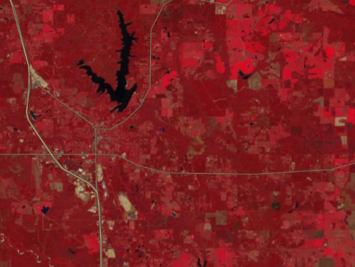
FIRMS has incorporated additional capabilities into the HLS dropdown menu of its interactive map, including four vegetation indices and the ability for user to create their own red, green, blue (RGB) image composites through the TiTiler-CMR service.
Tutorial
April 29, 2026
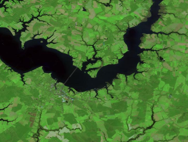
Create your own Harmonized Landsat Sentinel 2 (HLS) image composite or select from a preset list.
Tutorial
April 29, 2026

This ARSET training covers how to acquire, use, and derive NDVI imagery from Landsat and MODIS.
Training
Feb. 10 - March 2, 2016
This ARSET training provides an overview of spectral indices for land and aquatic applications as they are calculated with the QGIS platform.
Training
Feb. 27, 2025

This training provides an overview of spectral indices for land and aquatic applications.
Training
Oct. 26 - Nov. 9, 2023

This advanced-level training focuses on using remote sensing observations for monitoring post-fire impacts on watershed health.
Training
July 6-13, 2023

Looking to learn more about Suomi NPP VIIRS global land data products available from NASA? Join us for an overview of the data products and live demos on how to access and work with the data using a variety of tools from the Land Processes DAAC.
Webinar
April 20, 2022

Want to learn how to use R and Python to work with remote sensing data? Join us as we demonstrate how to perform basic data preparation, processing, computation, and visualization techniques using ASTER and VIIRS Surface Reflectance data.
Webinar
April 18, 2022
SHOWING 8 OF 28
Frequently Asked Questions
Earthdata Forum
Our online forum provides a space for users to browse thousands of FAQs about research needs, data, and data applications. You can also submit new questions for our experts to answer.
Submit Questions to Earthdata Forumand View Expert Responses