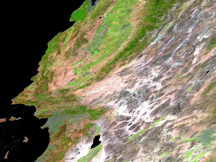
Access the datasets and tools you need to make the most of surface thermal properties research.
Surface Thermal Properties Data Access and Tools
Surface Thermal Properties Datasets
| Dataset Sort descending | Version | Platform | Instrument | Temporal Extent | Spatial Extent | Spatial Resolution | Data Format |
|---|---|---|---|---|---|---|---|
| WLDAS Noah-MP 3.6 Land Surface Model L4 Daily 0.01 degree x 0.01 degree Version D1.0 (WLDAS_NOAHMP001_DA1) at GES DISC | D1.0 | Noah-MP-LSM | NOT APPLICABLE | 1979-01-02 to 2024-01-01 |
N: 52.925 S: 25.065 E: -89.025 W: -124.925 |
0.01 Decimal Degrees x 0.01 Decimal Degrees | |
| Yale Center for Earth Observation (YCEO) Surface Urban Heat Islands, Version 4, 2003-2018 | 4.00 | MODELS | Computer | 2003-01-01 to 2018-12-31 |
N: 90 S: -90 E: 180 W: -180 |
GeoTIFF, Shapefile |
Featured Surface Thermal Properties Observation Method: VIIRS
The Visible Infrared Imaging Radiometer Suite (VIIRS) flies aboard the joint NASA/NOAA Suomi National Polar-orbiting Partnership (Suomi NPP) and NOAA-platforms. The instrument collects visible and infrared imagery along with global observations of Earth's land, atmosphere, cryosphere, and ocean, including data useful for determining surface thermal properties.
Frequently Asked Questions
Earthdata Forum
Our online forum provides a space for users to browse thousands of FAQs about research needs, data, and data applications. You can also submit new questions for our experts to answer.
Submit Questions to Earthdata Forumand View Expert Responses