Delivery of Suomi National Polar-orbiting Partnership (Suomi NPP) satellite data products will cease on November 1, 2026. Data users should transition now to alternative products from NOAA-21 and NOAA-20.
Suomi NPP data announcement
Tectonic Landforms News
Articles, resources, and announcements from Tectonic Landforms.
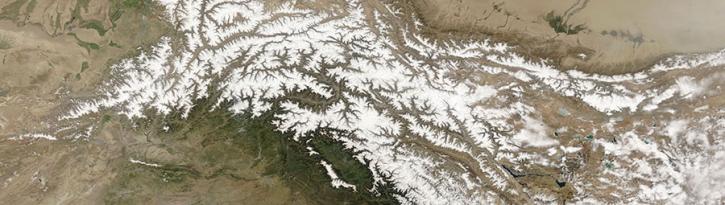
Image captured on 29 April 2018, by the MODIS instrument, aboard the Terra satellite.
Worldview Image of the Week
Sept. 11, 2020
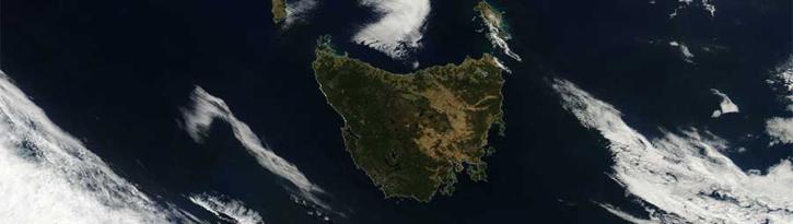
Image captured on 19 March 2017 by the MODIS instrument, aboard the Aqua satellite.
Worldview Image of the Week
Sept. 11, 2020

Image captured on 22 June 2019, by the MODIS instrument, aboard the Terra satellite.
Worldview Image of the Week
Sept. 11, 2020
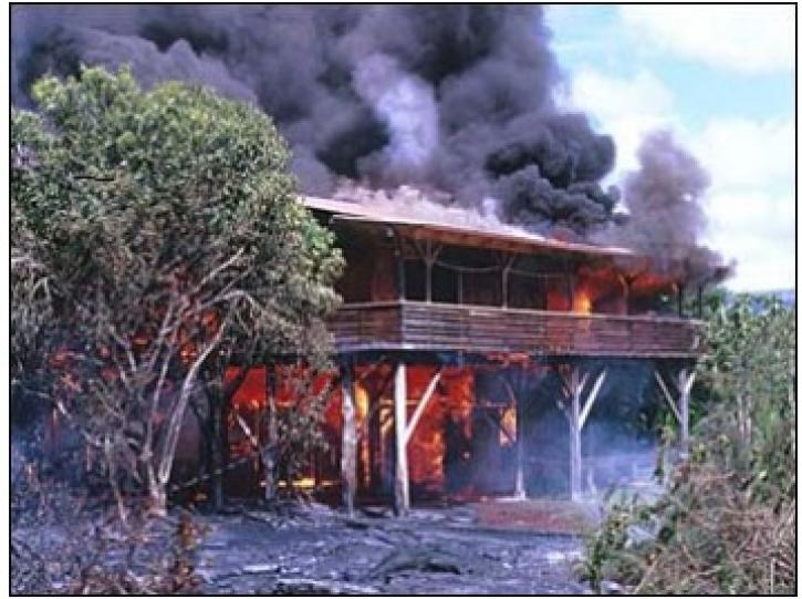
In October 2001, a volcano in the remote South Sandwich Islands began spewing ash and lava. Less than 24 hours after the eruption began, a research team nearly 9,000 miles away was estimating how much energy the volcano was producing.
Feature Article
July 28, 2020
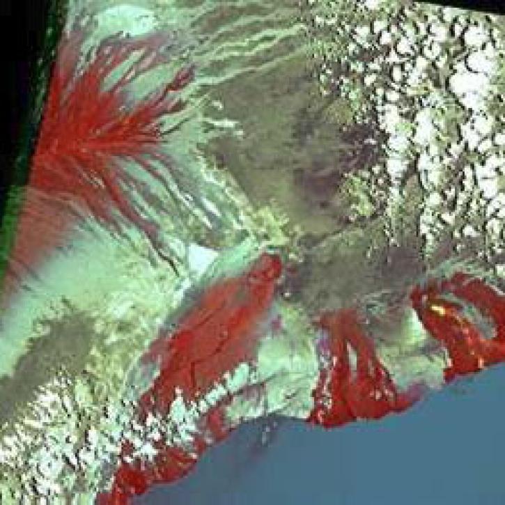
Scientists use gridded population of the world (GPW) data to study hazards and populations.
Feature Article
July 22, 2020

Craters on Earth's surface provide scientists with clues about how to identify craters on Mars.
Feature Article
July 22, 2020

Researchers link the Greenland snow melt anomaly to the eruption of Mount Pinatubo.
Feature Article
July 22, 2020
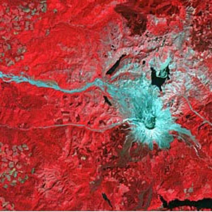
Scientists study Mount Unzen in Japan to explore the use of satellite data to monitor volcanic domes.
Feature Article
July 21, 2020
SHOWING 8 OF 48