Access a range of datasets and data tools to further your geodetics research.
Geodetics, or geodesy, is the science of studying Earth’s shape, gravity and its effect on phenomena such as polar motion, waterbody tides, and tectonic motion in three-dimensional space over time. Geodetic data has many uses including measuring the changes to Earth's tectonic plates following earthquakes and other crustal dynamics, tracking variations in ocean topography, and locating Earth's precise orientation in space.
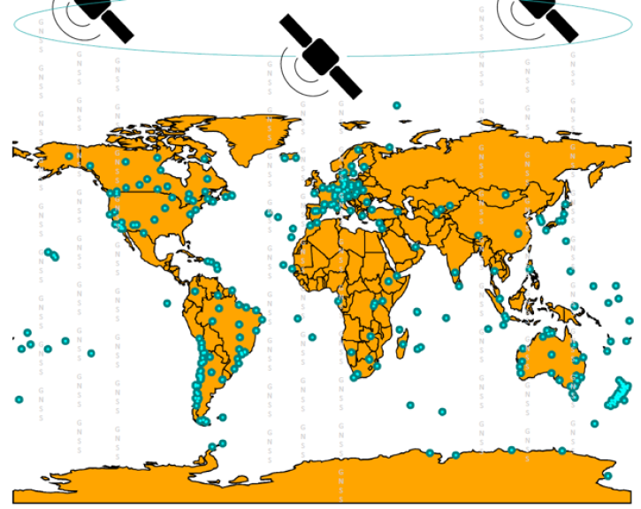
NASA gathers geodetic data by an assortment of methods and technologies, namely, Global Navigation Satellites Systems (GNSS), Satellite Laser Ranging (SLR), Very Long Baseline Interferometry (VLBI), and the Doppler Orbitography and Radiopositioning by Integrated Satellite (DORIS) system.
Learn How to Use Geodetics Data


Join Our Community of NASA Data Users
While NASA data are openly available without restriction, an Earthdata Login is required to download data and to use some tools with full functionality.
Learn About the Benefits of Earthdata LoginFrequently Asked Questions
Earthdata Forum
Our online forum provides a space for users to browse thousands of FAQs about research needs, data, and data applications. You can also submit new questions for our experts to answer.
Submit Questions to Earthdata Forumand View Expert Responses