We are in the process of migrating all NASA Earth science data sites into Earthdata from now until end of 2026. Not all NASA Earth science data and resources will appear here until then. Thank you for your patience as we make this transition.
Read about the Web Unification Project
Geodetics Learning Resources
Webinars, tutorials, data recipes and more to help you work with Geodetics.
Filters

Join us on Tues., Sept. 30, to learn more about NASA CSDA program vendor PlanetiQ and to learn how to discover, access, and work with their GNSS Radio Occultation (GNSS-RO) data.
Webinar
Sept. 16, 2025
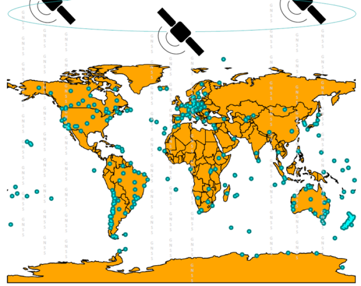
Join us on Sept. 28 to learn about the NASA Making Earth System Data Records (ESDR) for Use in Research Environments (MEaSUREs) Extended Solid Earth Science ESDR System (ESESES) project, whose Global Navigation Satellite System (GNSS)-derived data products enable research on tectonic motion, crustal deformation, earthquakes, tsunamis, sea level rise, extreme weather, and more!
Webinar
Sept. 8, 2022

Join us to learn more about Global Navigation Satellite System (GNSS) radio occultation science and applications! We will highlight science impacts in the areas of numerical weather prediction, forecasting cyclone genesis, and space weather.
Webinar
April 19, 2022

Over the last 25 years, ocean radar altimeter satellites have revolutionized our understanding of Earth's ocean. During this webinar we will describe how Precise Orbit Determination is at the heart of determining how the ocean surface changes over time.
Webinar
April 19, 2022

Join us on Wednesday, July 22, 2015 at 2pm ET to learn how to discover and access the real-time Global Navigation Satellite System (GNSS) data!
Webinar
April 14, 2022
SHOWING 5 OF 5
Frequently Asked Questions
Earthdata Forum
Our online forum provides a space for users to browse thousands of FAQs about research needs, data, and data applications. You can also submit new questions for our experts to answer.
Submit Questions to Earthdata Forumand View Expert Responses