We are in the process of migrating all NASA Earth science data sites into Earthdata from now until end of 2026. Not all NASA Earth science data and resources will appear here until then. Thank you for your patience as we make this transition.
Read about the Web Unification Project
ASF DAAC News
Read the latest news stories, feature articles, user stories, and blog posts that feature data archived by NASA's Alaska Satellite Facility Distributed Active Archive Center (ASF DAAC).
For real-time announcements about data outages, releases, and retirements, see our list of Data Alerts and Outages.
Filters
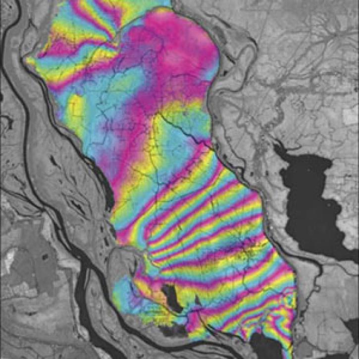
A technique to study land senses water-level changes in the Mississippi River delta.
Feature Article
July 28, 2020
In October 2001, a volcano in the remote South Sandwich Islands began spewing ash and lava. Less than 24 hours after the eruption began, a research team nearly 9,000 miles away was estimating how much energy the volcano was producing.
Feature Article
July 28, 2020
Canadian RADARSAT data is used to indicate the presence of open water in polar ice.
Feature Article
July 22, 2020
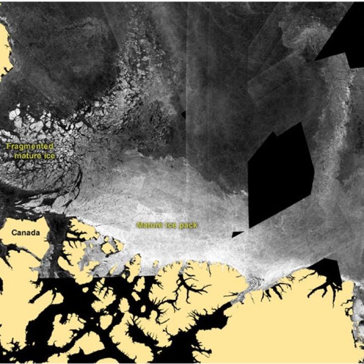
Synthetic aperture radar is used to study transmutations of ice.
Feature Article
July 22, 2020
A CD-ROM based series of lessons and activities help middle school children learn about glaciers.
Feature Article
July 22, 2020
Synthetic Aperture Radar aboard the JERS-1 satellite collects data from the world's tropical forests.
Feature Article
July 22, 2020
Many processes that shape the Earth's landscape happen too slowly to be witnessed in a human lifetime. But recent analysis of satellite imagery shows that a large glacier tongue on the coast of East Antarctica has disintegrated, changing the shape of the coastline almost overnight.
Feature Article
July 21, 2020
Alaska's Denali Fault experienced a magnitude 7.9 earthquake in 2002.
Feature Article
July 21, 2020
Pagination
SHOWING 8 OF 171