We are in the process of migrating all NASA Earth science data sites into Earthdata from now until end of 2026. Not all NASA Earth science data and resources will appear here until then. Thank you for your patience as we make this transition.
Read about the Web Unification Project
LP DAAC Learning Resources
Explore webinars, trainings, tutorials, and other learning resources from NASA’s Land Processes Distributed Active Archive Center (LP DAAC). Learn how to discover, access, process, and apply Earth science data from platforms and instruments such as MODIS, ASTER, VIIRS, GEDI, ECOSTRESS, EMIT, and HLS.
LP DAAC maintains a collection of dataset and topic-specific GitHub repositories that include step-by-step tutorials, scripts, guides, and example workflows for getting started with LP DAAC data. Users can browse available resources in the LP DAAC Data Resources GitHub repository, which serves as a central hub and provides links to additional LP DAAC–maintained GitHub repositories for specific datasets and topics.
Filters

This ARSET training introduces the applications of ECOSTRESS for crop health, volcanoes, urban heat, wildland fires, coastal systems, and much more.
Training
Nov. 20, 2019

Explore how satellite data supported soybean crop modeling in Brazil and the U.S., hurricane and drought damage assessment in the Caribbean, and dam site evaluation in northern Iraq.
Data in Action
Oct. 28, 2019

Learn to use the Application for Extracting and Exploring Analysis Ready Samples (AppEEARS) tool with various fire, temperature, precipitation, and vegetation data.
Webinar
Oct. 25, 2019

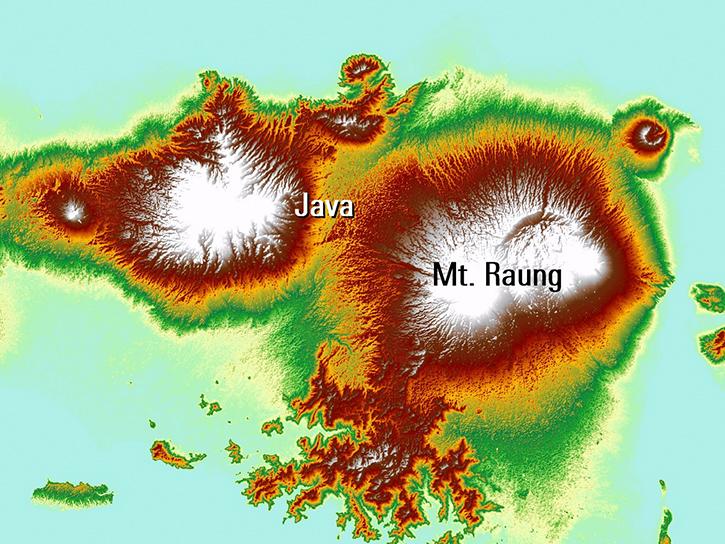
Europe experienced a heat wave in 2019, highlighting the dangers of urban heat islands and the potential of ECOsystem Spaceborne Thermal Radiometer (ECOSTRESS) data to identify at-risk areas.
Data in Action
Aug. 21, 2019
Read publication highlights that detail how NASA data are used to monitor climate-driven vegetation changes, wind-driven sediment plumes in lakes, and volcanic eruption processes.
Data in Action
July 31, 2019

Explore how NASA data helps track NDVI trends in Spain, analyze rising land surface temperatures in Italy, and detect geothermal anomalies in Turkey using MODIS and ASTER imagery.
Data in Action
June 18, 2019

Discover how a NASA DEVELOP team assessed and mapped changes in the risk of wildfires following a beetle infestation.
Data in Action
April 24, 2019

This ARSET training introduces using satellite data and Earth system modeling data sources to estimate surface water budgets.
Training
March 13 - April 3, 2019
SHOWING 8 OF 226