We are in the process of migrating all NASA Earth science data sites into Earthdata from now until end of 2026. Not all NASA Earth science data and resources will appear here until then. Thank you for your patience as we make this transition.
Read about the Web Unification Project
LP DAAC Learning Resources
Explore webinars, trainings, tutorials, and other learning resources from NASA’s Land Processes Distributed Active Archive Center (LP DAAC). Learn how to discover, access, process, and apply Earth science data from platforms and instruments such as MODIS, ASTER, VIIRS, GEDI, ECOSTRESS, EMIT, and HLS.
LP DAAC maintains a collection of dataset and topic-specific GitHub repositories that include step-by-step tutorials, scripts, guides, and example workflows for getting started with LP DAAC data. Users can browse available resources in the LP DAAC Data Resources GitHub repository, which serves as a central hub and provides links to additional LP DAAC–maintained GitHub repositories for specific datasets and topics.
Filters
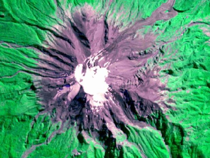
Discover how researchers used NASA remote sensing data to analyze the eruption of Calbuco Volcano and its impact on the surrounding environment.
Data in Action
May 29, 2015
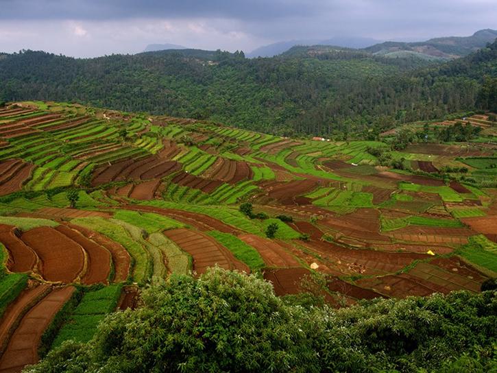
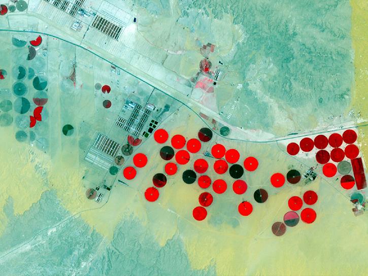
Learn how NASA data can inform crop decisions in desert areas, help farmers predict frost events, and understand why land change trends occur.
Data in Action
April 29, 2015
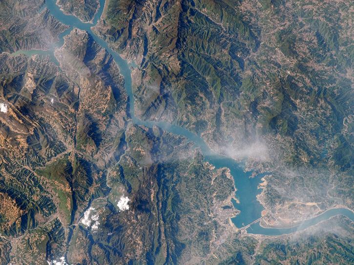
Researchers used MODIS and ASTER data to analyze how the Three Gorges Dam's construction altered vegetation along the Yangtze River's riparian zones.
Data in Action
April 29, 2015
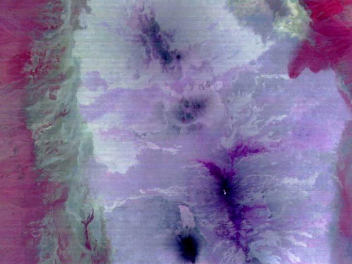
See how scientists used ASTER thermal infrared imagery to study Ethiopia's volcanically active Afar Triangle.
Data in Action
March 25, 2015
Read stories from the 2014 issue of Sensing our Planet to learn about the many uses of MODIS data distributed by LP DAAC.
Data in Action
March 18, 2015
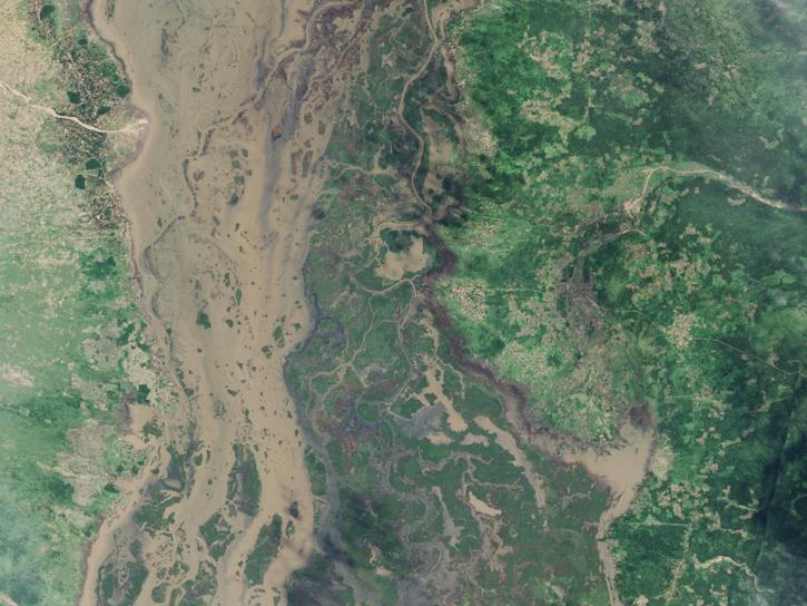
MODIS data captured the extensive flooding of the Shire River in Malawi and Mozambique, caused by unusually heavy rains and a tropical cyclone.
Data in Action
Feb. 15, 2015
NASA's Northwest U.S. Agriculture Team used MODIS data to calculate the growing degree days of the codling moth.
Data in Action
Feb. 14, 2015
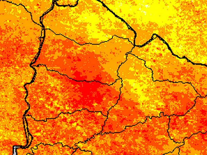
Learn how MODIS vegetation indices can be used to monitor variations in global vegetation conditions, such as seasonal leaf changes.
Data in Action
Dec. 23, 2014
Pagination
SHOWING 8 OF 226