We are in the process of migrating all NASA Earth science data sites into Earthdata from now until end of 2026. Not all NASA Earth science data and resources will appear here until then. Thank you for your patience as we make this transition.
Read about the Web Unification Project
LP DAAC Learning Resources
Explore webinars, trainings, tutorials, and other learning resources from NASA’s Land Processes Distributed Active Archive Center (LP DAAC). Learn how to discover, access, process, and apply Earth science data from platforms and instruments such as MODIS, ASTER, VIIRS, GEDI, ECOSTRESS, EMIT, and HLS.
LP DAAC maintains a collection of dataset and topic-specific GitHub repositories that include step-by-step tutorials, scripts, guides, and example workflows for getting started with LP DAAC data. Users can browse available resources in the LP DAAC Data Resources GitHub repository, which serves as a central hub and provides links to additional LP DAAC–maintained GitHub repositories for specific datasets and topics.
Filters
Learn about ASTER products, how they can be applied to variety of studies, and how to access the data.
Webinar
May 6, 2016
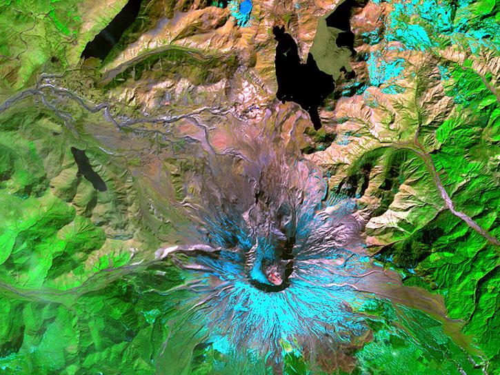
Learn how NASA's ASTER data helps monitor and understand lahars, offering essential data for hazard assessment and mitigation efforts.
Data in Action
April 26, 2016
Learn how to use the Application for Extracting and Exploring Analysis Ready Samples (AppEEARS) data tool to retrieve analysis-ready data.
Tutorial
April 11, 2016
Learn about Web-Enabled Landsat Data (WELD), a MEaSUREs project that created composited mosaics of the U.S. using ETM+ data from 2002 to 2012.
Data in Action
March 31, 2016
Learn how MODIS data reprocessing campaigns make the data more accurate, especially for temperature estimates of error-prone land-cover types such as deserts.
Data in Action
Feb. 24, 2016
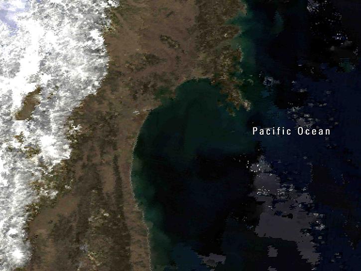
Explore how satellite data helped assess rice crop recovery after the 2011 Japan tsunami, analyze sand dune structures in Namibia, and link groundwater levels to vegetation in China’s arid regions.
Data in Action
Feb. 10, 2016
See how MODIS Leaf Area Index data are used to complement in situ data to evaluate seasonal changes in the relationship between canopy cover and photosynthesis.
Data in Action
Jan. 27, 2016
Emergency teams use MODIS data to monitor the locations and sizes of wildfires, observe fire patterns and durations, and track burn scars to help prevent, manage, and predict fires.
Data in Action
Nov. 25, 2015
Pagination
SHOWING 8 OF 226