We are in the process of migrating all NASA Earth science data sites into Earthdata from now until end of 2026. Not all NASA Earth science data and resources will appear here until then. Thank you for your patience as we make this transition.
Read about the Web Unification Project
LP DAAC Learning Resources
Explore webinars, trainings, tutorials, and other learning resources from NASA’s Land Processes Distributed Active Archive Center (LP DAAC). Learn how to discover, access, process, and apply Earth science data from platforms and instruments such as MODIS, ASTER, VIIRS, GEDI, ECOSTRESS, EMIT, and HLS.
LP DAAC maintains a collection of dataset and topic-specific GitHub repositories that include step-by-step tutorials, scripts, guides, and example workflows for getting started with LP DAAC data. Users can browse available resources in the LP DAAC Data Resources GitHub repository, which serves as a central hub and provides links to additional LP DAAC–maintained GitHub repositories for specific datasets and topics.
Filters
View LP DAAC's presentation at the Black Hills Digital Mapping Association's 2016 annual conference.
Webinar
Oct. 4, 2016
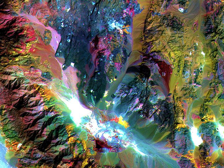
Researchers used ASTER data to generate a map identifying exposed minerals on the Conterminous United States.
Data in Action
Sept. 20, 2016
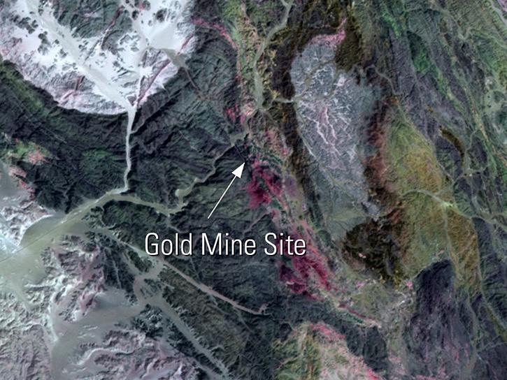
Read highlights of three publications that detail how NASA Earth observation data informs chickpea agriculture growth in India, harmful sediment plumes affecting Colombian coral reefs, and new gold sites in Egypt's Central Eastern Desert.
Data in Action
July 27, 2016
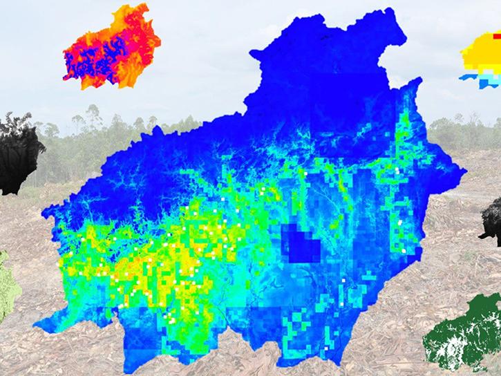
In Spring 2016, DEVELOP researchers used MODIS data to identify areas of potential palm oil production and the risks of rainforest deforestation in Indonesia.
Data in Action
June 29, 2016
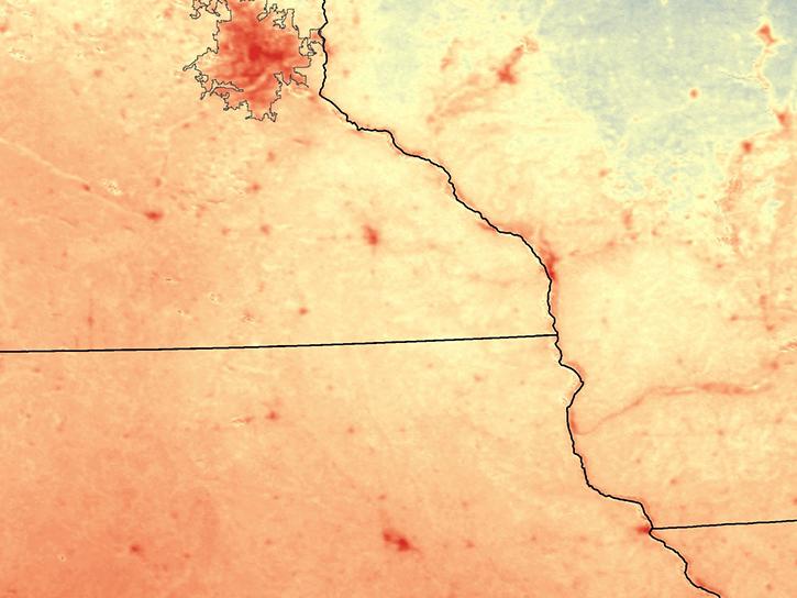
Learn how NASA MODIS data and the AppEEARS tool can be used to detect and analyze temperature differences between urban and rural areas.
Data in Action
June 22, 2016
Read stories from the 2015 issue of Sensing our Planet to learn about the many uses of MODIS data distributed by LP DAAC.
Data in Action
June 1, 2016
See ASTER data used to study tornado damage in Joplin, Missouri.
Data in Action
May 26, 2016
Learn how remote sensing helps classify minerals and identify faults, the effectiveness of an afforestation program, and assessing forests and grasslands disturbance.
Data in Action
May 20, 2016
Pagination
SHOWING 8 OF 226