Delivery of Suomi National Polar-orbiting Partnership (Suomi NPP) satellite data products will cease on November 1, 2026. Data users should transition now to alternative products from NOAA-21 and NOAA-20.
Suomi NPP data announcement
OBPG News
Articles, resources, and announcements from OBPG.
Filters
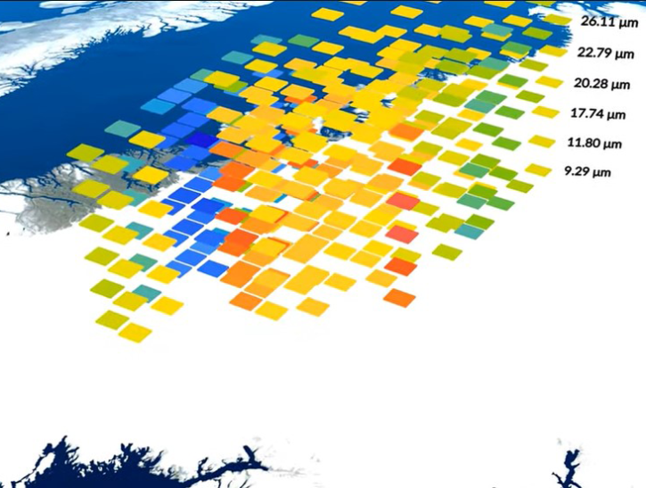
A summary of datasets, products, and resources released by NASA’s Distributed Active Archive Centers (DAACs) in October 2024.
News
Nov. 4, 2024

Sentinel-1 synthetic aperture radar (SAR) data are used to create maps of surface water extent for research, planning, and disaster response.
News
Oct. 28, 2024
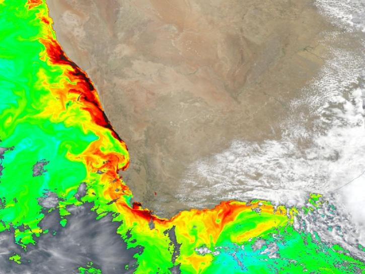
Dark colors indicate high chlorophyll concentrations in this image captured on Oct 22, 2024, by the Ocean Color Instrument (OCI) instrument.
Worldview Image of the Week
Oct. 25, 2024
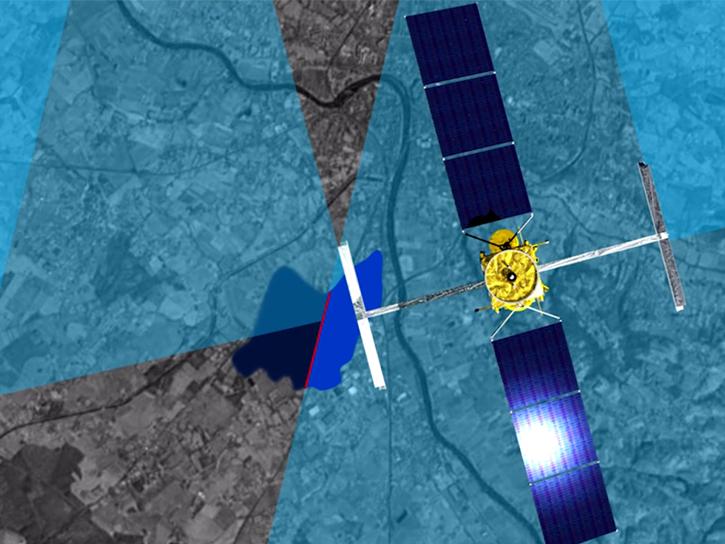
Hydrocron, an API for time series retrievals of hydrology data products from the Surface Water and Ocean Topography (SWOT) mission, is now available.
News
Oct. 22, 2024

The SWOT On-Demand Level 2 Raster Generation System (SWODLR) for Surface Water and Ocean Topography (SWOT) data is now part of Earthdata Search.
News
Oct. 9, 2024
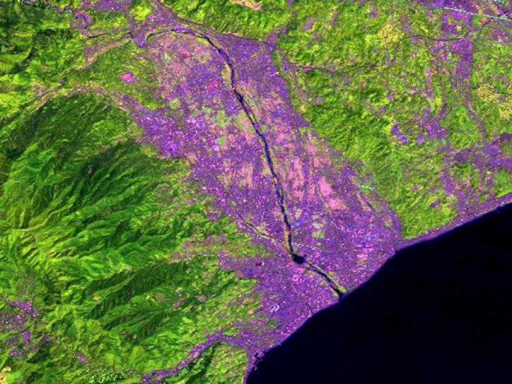
A summary of datasets, products, and resources released by NASA’s Distributed Active Archive Centers (DAACs) in September 2024.
News
Oct. 3, 2024

Hydrocron enables users to receive all Surface Water and Ocean Topography (SWOT) observations for a specific river ID within a specified date range.
News
Aug. 27, 2024

Validated science data products from the Surface Water and Ocean Topography (SWOT) mission are available through NASA Earthdata Search.
News
Aug. 14, 2024
SHOWING 8 OF 244