ASTER Resources

View related stories and other resources for the Advanced Spaceborne Thermal Emission and Reflection Radiometer (ASTER) instrument. 

ASTER Learning Resources

Filters
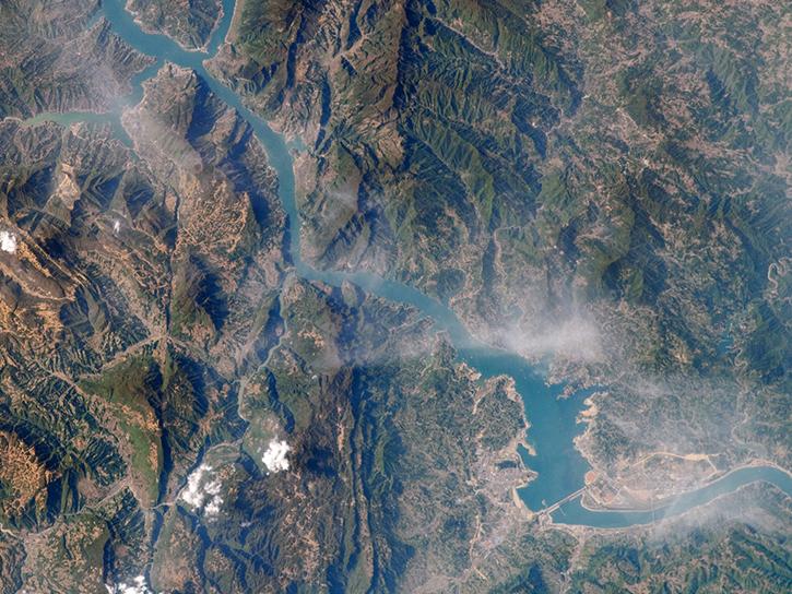
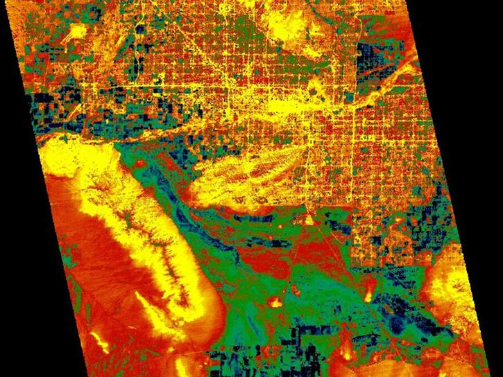
Explore how LP DAAC data was used to forecast spring wheat yields in Canada, track elevation change at a U.S. coal mine, and examine land cover impacts on urban heat in Phoenix, Arizona.
Data in Action
Nov. 25, 2014
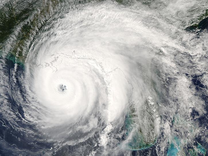
ASTER data are used to evaluate the affects of Hurricane Ivan, a unique and destructive storm, after making two U.S. landfalls.
Data in Action
Sept. 30, 2014
See how digital elevation models are used to create three-dimensional data visualizations, which provide an insightful perspective on landscapes.
Data in Action
Aug. 18, 2014
SHOWING 8 OF 65

ASTER News

Filters
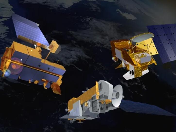
The May 23-25, 2023, online workshop will determine needs, evaluate current capabilities, identify gaps, and specify potential actions for NASA’s Terra, Aqua, and Aura mission data.
News
April 30, 2023
This virtual, open community forum on Dec 8, 2022, features discussions of Terra instrument and spacecraft health, mission longevity, and prospective scientific impacts, data product implications, and opportunities resulting from past and future orbit changes.
Event
Nov. 17, 2022
SHOWING 4 OF 64

Get Help

QUESTIONS & SUPPORT

Have a question?

Get help with NASA Earth science data, datasets, tools, services, and metadata on the Earthdata Forum. Experienced staff in the data user community review and answer questions.

Get help on Earthdata Forum
Earthdata
Forum