ASTER Resources

View related stories and other resources for the Advanced Spaceborne Thermal Emission and Reflection Radiometer (ASTER) instrument. 

ASTER Learning Resources

Filters
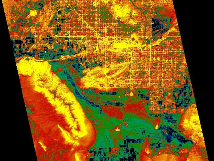
Explore how LP DAAC data was used to forecast spring wheat yields in Canada, track elevation change at a U.S. coal mine, and examine land cover impacts on urban heat in Phoenix, Arizona.
Data in Action
Nov. 25, 2014
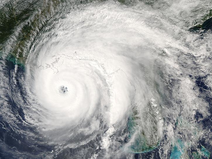
ASTER data are used to evaluate the affects of Hurricane Ivan, a unique and destructive storm, after making two U.S. landfalls.
Data in Action
Sept. 30, 2014
See how digital elevation models are used to create three-dimensional data visualizations, which provide an insightful perspective on landscapes.
Data in Action
Aug. 18, 2014
SHOWING 8 OF 65

ASTER News

Filters
NASA’s Terra mission soon will shift to Phase F: decommissioning. Here's what this means for the future of this groundbreaking satellite.
Feature Article
May 3, 2022
Data available from NASA’s LP DAAC helps scientists like Dr. Robert Wright develop systems for autonomously detecting volcanic eruptions from space.
Data User Story
Talking about 20 years of NASA's Terra mission and its significance with Terra Project Scientist Dr. Kurt Thome.
Data User Story
SHOWING 4 OF 64

Get Help

QUESTIONS & SUPPORT

Have a question?

Get help with NASA Earth science data, datasets, tools, services, and metadata on the Earthdata Forum. Experienced staff in the data user community review and answer questions.

Get help on Earthdata Forum
Earthdata
Forum