ASTER Resources

View related stories and other resources for the Advanced Spaceborne Thermal Emission and Reflection Radiometer (ASTER) instrument. 

ASTER Learning Resources

Filters
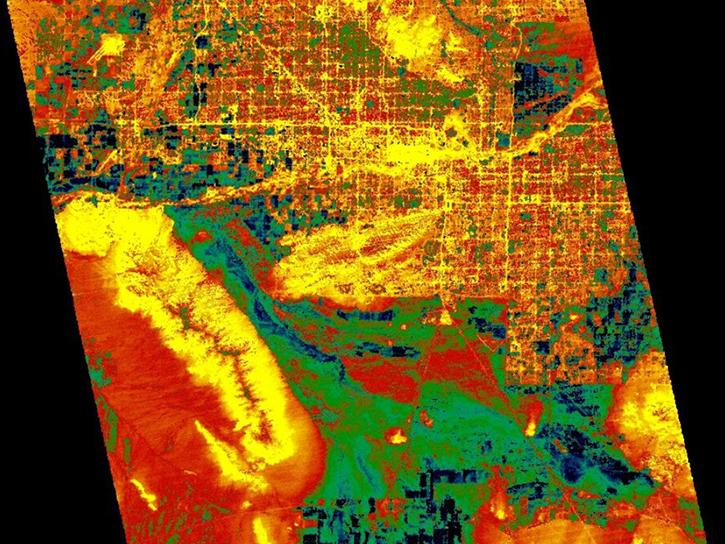
Explore how LP DAAC data was used to forecast spring wheat yields in Canada, track elevation change at a U.S. coal mine, and examine land cover impacts on urban heat in Phoenix, Arizona.
Data in Action
Nov. 25, 2014
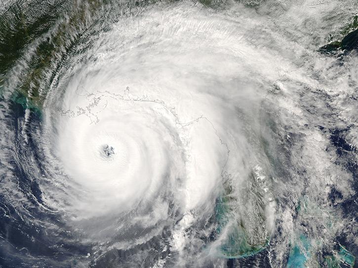
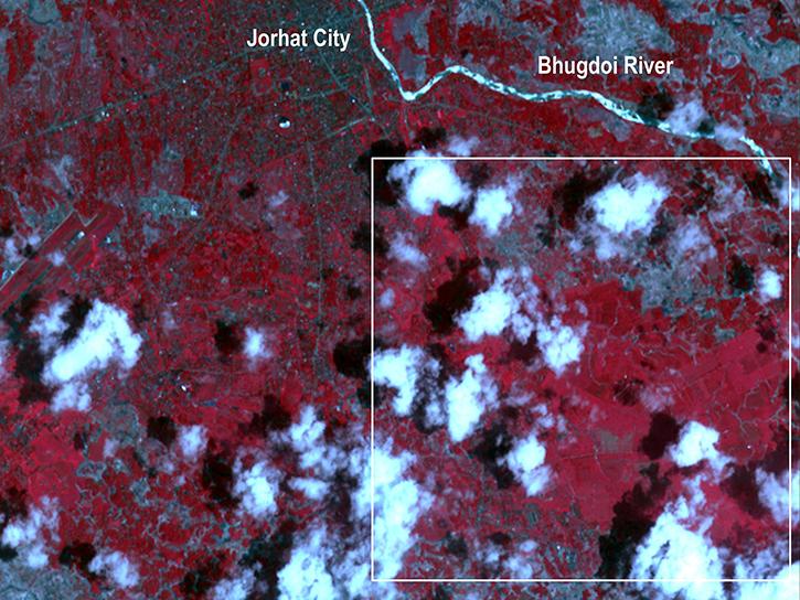
ASTER data are used to evaluate the affects of Hurricane Ivan, a unique and destructive storm, after making two U.S. landfalls.
Data in Action
Sept. 30, 2014
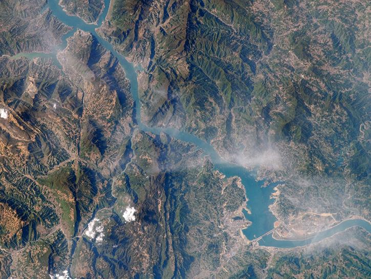
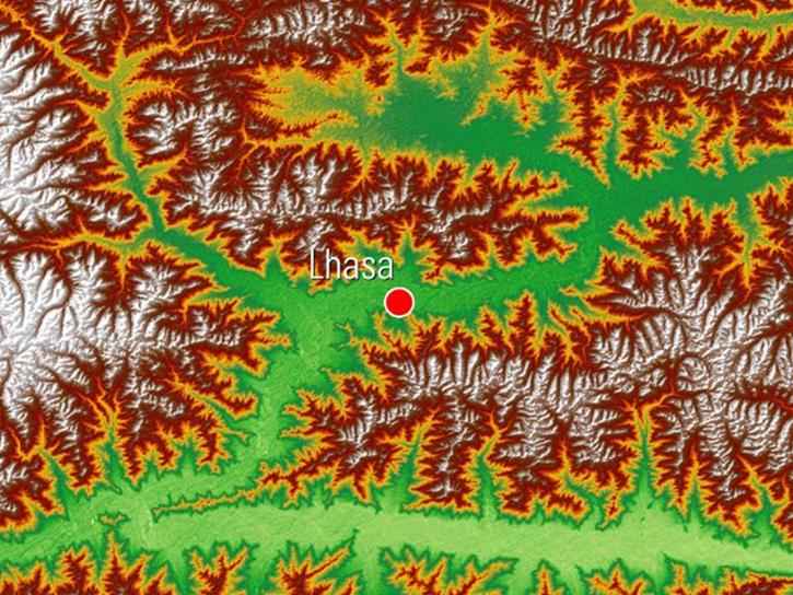
See how digital elevation models are used to create three-dimensional data visualizations, which provide an insightful perspective on landscapes.
Data in Action
Aug. 18, 2014
SHOWING 8 OF 65

ASTER News

Filters
Who Uses NASA Earth Science Data? Rowena Lohman, to study earthquake physics, satellite remote sensing, finite element modeling, ground displacements from a variety of anthropogenic and natural causes.
Data User Story
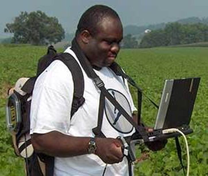
Dr. Bernard Hubbard uses NASA Earth science data to help locate mineral resources and assess natural hazards.
Data User Story
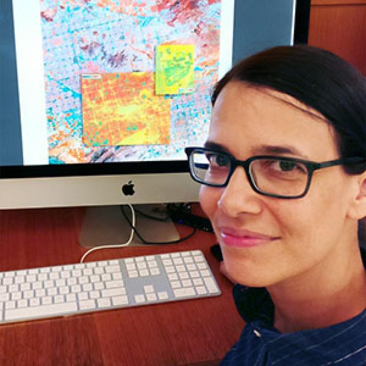
Who uses NASA Earth science data? Lela Prashad, for exploring how people live in and experience urban environments.
Data User Story
ALTUS Cumulus Electrification Study (ACES) help validate LIS data to examine thunderstorms.
Feature Article
April 19, 2021
SHOWING 4 OF 64

Get Help

QUESTIONS & SUPPORT

Have a question?

Get help with NASA Earth science data, datasets, tools, services, and metadata on the Earthdata Forum. Experienced staff in the data user community review and answer questions.

Get help on Earthdata Forum
Earthdata
Forum