We are in the process of migrating all NASA Earth science data sites into Earthdata from now until end of 2026. Not all NASA Earth science data and resources will appear here until then. Thank you for your patience as we make this transition.
Read about the Web Unification Project
Aqua Resources
Earthdata resources for users working with NASA’s Aqua data include tutorials and other learning resources, news announcements such as instrument updates and data releases, user guides and related documents, and frequently asked questions.
Aqua Learning Resources

Explore how MODIS data supports research on tick-borne disease spread in Kansas, water stress in African rangelands, and long-term greenness trends in Alaska’s boreal ecosystems.
Data in Action
Oct. 28, 2014

Read highlights from the Spring/Summer 20214 term of NASA's DEVELOP program.
Data in Action
Oct. 21, 2014

Learn how to access and visualize Atmospheric Infrared Sounder (AIRS) grid data from NASA's Goddard Earth Sciences Data and Information Services Center (GES DISC) in Python.
Data Recipe
Oct. 2, 2014

ASTER data are used to evaluate the affects of Hurricane Ivan, a unique and destructive storm, after making two U.S. landfalls.
Data in Action
Sept. 30, 2014

Learn about intensified coastal warming along central-to-southern California in 2014 using satellite sea surface temperature imagery.
Data in Action
Sept. 4, 2014

NASA’s SWOT satellite will measure sea level height variations on spatial scales down to a few kilometers.
Data in Action
Aug. 17, 2013

Sea surface temperature anomalies in the Eastern Pacific have shown a recent warming, a known precursor to El Niño conditions in the Equatorial Pacific.
Data in Action
May 21, 2012

An examination of satellite data provides information on the oceanographic conditions that may have been conducive to intense algal blooms.
Data in Action
Oct. 24, 2011
SHOWING 8 OF 184
Aqua News
View All News
Filters

The Global Navigation Satellite System (GNSS) enables the precise location of points on Earth’s surface. For geodesists like Dr. Herring, it also is a key geodetic technique for his studies of surface deformation processes.
Data User Story
Jan. 7, 2021

Aerosols have a huge impact on climate and human health. Dr. Steven Massie uses remotely-sensed data to better understand these impacts and improve how aerosols are detected by Earth observing satellites.
Data User Story
Jan. 7, 2021

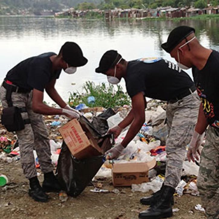
Water is a finite resource, and the availability of freshwater can have major social impacts. Dr. Eric Sproles uses Earth observing data as part of his studies into water’s eco-social effects.
Data User Story
Jan. 7, 2021
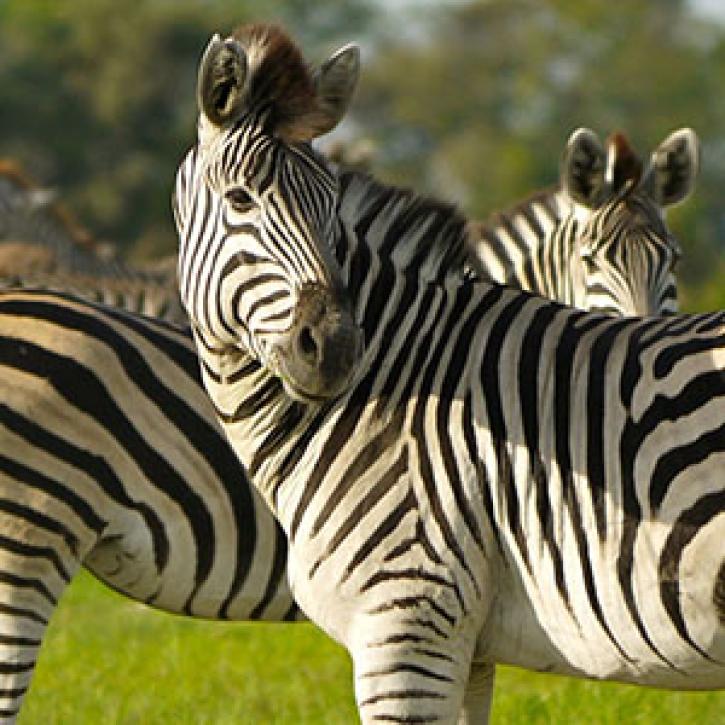
A new generation reconnects with greener pastures.
Feature Article
Dec. 28, 2020
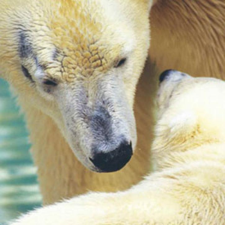
The fate of older sea ice in the Arctic may be key to the future of polar bears.
Feature Article
Dec. 28, 2020

A tiny organism and its tenants make an unexpected appearance.
Feature Article
Dec. 28, 2020

SHOWING 8 OF 356
Frequently Asked Questions
Earthdata Forum
Our online forum provides a space for users to browse thousands of FAQs about research needs, data, and data applications. You can also submit new questions for our experts to answer.
Submit Questions to Earthdata Forumand View Expert Responses