We are in the process of migrating all NASA Earth science data sites into Earthdata from now until end of 2026. Not all NASA Earth science data and resources will appear here until then. Thank you for your patience as we make this transition.
Read about the Web Unification Project
NOAA-20 Resources
NOAA-20 Learning Resources

This advanced-level training focuses on using remote sensing observations for monitoring post-fire impacts on watershed health.
Training
July 6-13, 2023

Join us April 26 at 2 p.m., EDT [UTC -4], to learn about NASA's LAADS DAAC data migration to the cloud and what this means for data users regarding schedule and data access. A live demo of Amazon Simple Storage Service (S3) direct access in the cloud will be provided.
Webinar
April 9, 2023

Join us to learn how to search and order datasets from NASA's Level-1 and Atmosphere Archive and Distribution System Distributed Active Archive Center (LAADS DAAC). Subsetting, reprojection, and data output post-processing operations in the Find Data tool will also be featured.
Webinar
May 18, 2022

Through NASA FIRMS, users can interactively view fire data via the Fire Map, search for both VIIRS and MODIS active fires/hotspots and sign-up to receive automated Fire Email Alerts for their geographic areas of interest. Join us to learn more!
Webinar
April 19, 2022

Want to learn how to use R and Python to work with remote sensing data? Join us as we demonstrate how to perform basic data preparation, processing, computation, and visualization techniques using ASTER and VIIRS Surface Reflectance data.
Webinar
April 18, 2022

This ARSET training provides participants with the skills to combine in situ measurements and optical remote sensing data to assess water quality.
Training
Nov. 30 - Dec. 7, 2021

Join us for an overview of NASA's LAADS DAAC, its Level-1 and atmospheric data products, and to explore different options to search, discover, and acquire the data.
Webinar
Oct. 25, 2021

Esta capacitación de ARSET cubre similitudes y diferencias entre MODIS y VIIRS para monitoreo de calidad del agua.
Training
Sept. 14-21, 2021
SHOWING 8 OF 27
NOAA-20 News
View All News
Filters
A summary of datasets, products, and resources released by NASA’s Distributed Active Archive Centers (DAACs) in May 2025.
News
June 12, 2025

Annual prescribed burns are crucial for improving and maintaining pasture and crop land health, and remote sensing data provides near real-time information on location and air quality.
News
June 6, 2025
The new VIIRS near real-time product is already in use, and users are encouraged to explore this replacement option for MODIS-based flood products.
Blog
June 2, 2025
Image captured April 29, 2025, by the VIIRS instrument aboard the joint NASA/NOAA NOAA-20 platform.
Worldview Image of the Week
May 1, 2025
Image captured on Feb 13, 2025, by the VIIRS instrument aboard the joint NASA/NOAA NOAA-20 platform.
Worldview Image of the Week
Feb. 13, 2025
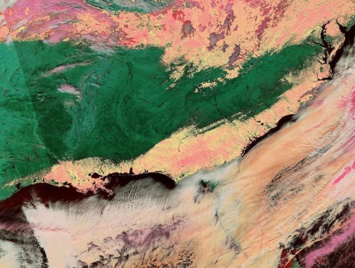
Image captured on Jan 22, 2025, by the VIIRS instrument aboard the joint NASA/NOAA NOAA-20 platform.
Worldview Image of the Week
Jan. 23, 2025

The atlas now features NASA Earth science data formatted specifically for geographic information systems (GIS) users.
Feature Article
Jan. 7, 2025

A summary of datasets, products, and resources released by NASA’s Distributed Active Archive Centers (DAACs) in November 2024.
News
Dec. 4, 2024
SHOWING 8 OF 113
Frequently Asked Questions
Earthdata Forum
Our online forum provides a space for users to browse thousands of FAQs about research needs, data, and data applications. You can also submit new questions for our experts to answer.
Submit Questions to Earthdata Forumand View Expert Responses