We are in the process of migrating all NASA Earth science data sites into Earthdata from now until end of 2026. Not all NASA Earth science data and resources will appear here until then. Thank you for your patience as we make this transition.
Read about the Web Unification Project
SMAP Resources
Earthdata offers a range of resources for users working with Soil Moisture Active Passive (SMAP) data. These include tutorials and other learning opportunities as well as related news, documents, and frequently asked questions.
Documents
| Name Sort descending | Description | File Type | Date Published | |
|---|---|---|---|---|
| NASA/RSS SMAP Salinity: Version 5.0 Validated Release | NASA/RSS SMAP Salinity: Version 5.0 Validated Release | PDF (6.13 mb) | June 21, 2023 | |
| NASA/RSS SMAP Salinity: Version 6.0 Validated Release | NASA/RSS SMAP Salinity: Version 6.0 Validated Release - Release Notes | PDF (4.34 mb) | Jan. 18, 2024 | |
| SMAP Salinity and Wind Speed Data User Guide | SMAP Salinity and Wind Speed Data User Guide | PDF (5.94 mb) | Nov. 12, 2020 |
SHOWING 3 OF 3
SMAP Learning Resources

The Emergency Environmental Health Dashboard helped local communities assess water quality risks and infrastructure damage following Hurricane Helene and Tropical Storm Chantal.
Data in Action
Nov. 18, 2025
This ARSET training teaches participants how satellite-based Earth observations can inform landslide science and disaster planning.
Training
March 11-18, 2025

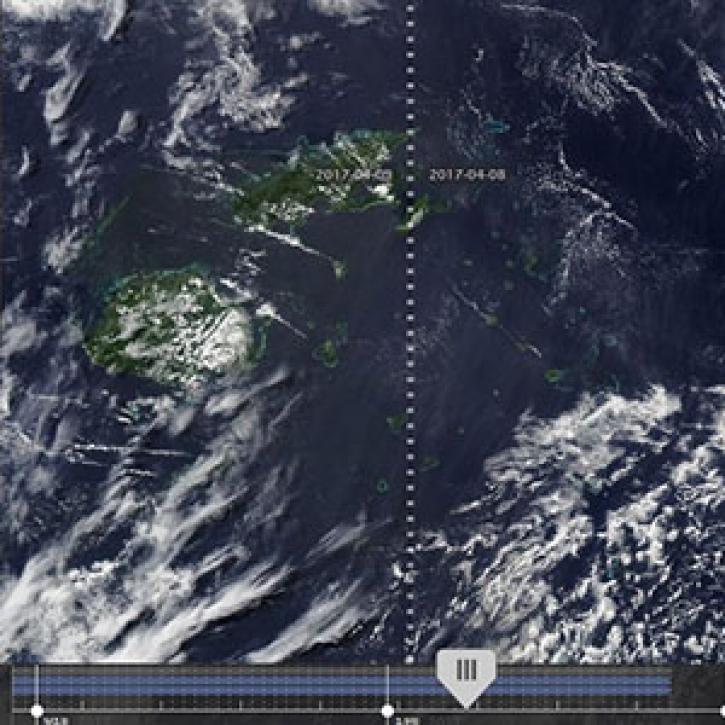
Can summer salinity values help better predict ice formation in the fall?
StoryMap
Jan. 22, 2025

Join us to learn more about datasets and tools that enable the harmonization of remote sensing and in situ ecological data products for site-based research.
Webinar
Aug. 22, 2024

Research shows that coastal sea surface temperatures could be used as a proxy for detecting changes that are expected in the cycling of water between the oceans and continents.
Data in Action
April 18, 2024

Learn more about NASA's Application for Extracting and Exploring Analysis Ready Samples (AppEEARS). This webinar showcases the system's capabilities and highlights learning resources to help simplify data access workflows using AppEEARS.
Webinar
April 9, 2024

The SASSIE project aimed to determine if sea surface salinity variations generated by summer sea ice melt are an important predictor for sea ice advance in the fall.
Data in Action
Jan. 30, 2024

This advanced-level training focuses on using remote sensing observations for monitoring post-fire impacts on watershed health.
Training
July 6-13, 2023
SHOWING 8 OF 35
SMAP News
View All News
Filters

Who uses NASA Earth science data? David Mocko, for using land-surface models to study drought.
Data User Story
Dec. 22, 2020

NASA's SMAP team turns raw satellite data into more than a dozen data products for data users around the world.
Feature Article
Nov. 4, 2020

Ground validation campaigns connect the dots between what is being remotely-sensed by a satellite instrument and ongoing Earth processes.
Feature Article
Nov. 4, 2020

NASA’s global precipitation data and data processing systems have come a long way from the launch of TRMM in 1997 to the ongoing GPM mission.
Feature Article
Nov. 4, 2020

Data collected by the Saildrone unmanned surface vehicle have been turned into a new animation at NASA’s Physical Oceanography DAAC (PO.DAAC).
News
Nov. 4, 2020
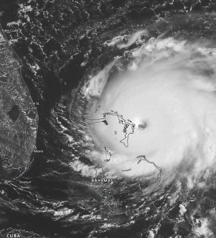
Scientists at NASA's Short-Term Prediction Research and Transition (SPoRT) project use near real-time data to help the operational weather community with hurricane forecasting.
Feature Article
Nov. 4, 2020
New features in Worldview 1.4.0 (along with new imagery to view using Worldview) allow you to more easily and completely explore the planet using NASA Earth science data.
Feature Article
Nov. 4, 2020

Image of surface soil moisture on 24 March 2016 from the Soil Moisture Active Passive (SMAP) satellite.
Worldview Image of the Week
Feb. 26, 2020
SHOWING 8 OF 43
Frequently Asked Questions
Earthdata Forum
Our online forum provides a space for users to browse thousands of FAQs about research needs, data, and data applications. You can also submit new questions for our experts to answer.
Submit Questions to Earthdata Forumand View Expert Responses