We are in the process of migrating all NASA Earth science data sites into Earthdata from now until end of 2026. Not all NASA Earth science data and resources will appear here until then. Thank you for your patience as we make this transition.
Read about the Web Unification Project
Terra Resources
Terra Learning Resources

NASA DEVELOP teams used MODIS and ASTER data to address wildfire impacts, flooding risks, and wildlife conservation through remote sensing.
Data in Action
Nov. 18, 2015

Discover how NASA data support amphibian habitat mapping, classification of Amazonian wetland vegetation, and flood regime monitoring in Botswana’s Okavango Delta.
Data in Action
Oct. 28, 2015

Learn how MODIS data were used to update the 1992 Montana Climate Atlas to better understand the state's climate and how it relates to resources and industries.
Data in Action
Oct. 21, 2015

Discover how MODIS data help track changes in snow water equivalents in the Sierra Nevada Mountains to help forecast drought in California.
Data in Action
Sept. 30, 2015

Examining changes and recovery of the Chandeleur Barrier Islands post-Hurricane Katrina using remote sensing data.
Data in Action
Aug. 26, 2015

See how a NASA DEVELOP team used MODIS data to create a drought-monitoring tool to benefit the agriculture and energy sectors.
Data in Action
July 1, 2015

See how MODIS data are used to determine areas susceptible to water-stress to show the relative health of the vegetation compared to the same area with healthy vegetation.
Data in Action
June 25, 2015

Discover how researchers used NASA remote sensing data to analyze the eruption of Calbuco Volcano and its impact on the surrounding environment.
Data in Action
May 29, 2015
SHOWING 8 OF 235
Terra News
View All News
Filters
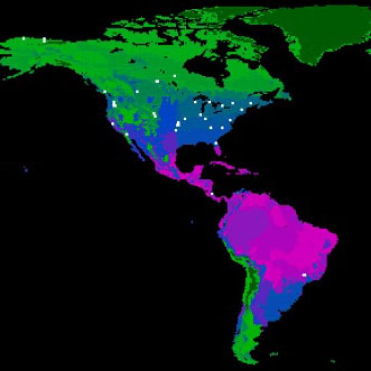
FLUXNET is a global network of research sites to measure regional carbon exchange.
Feature Article
July 21, 2020
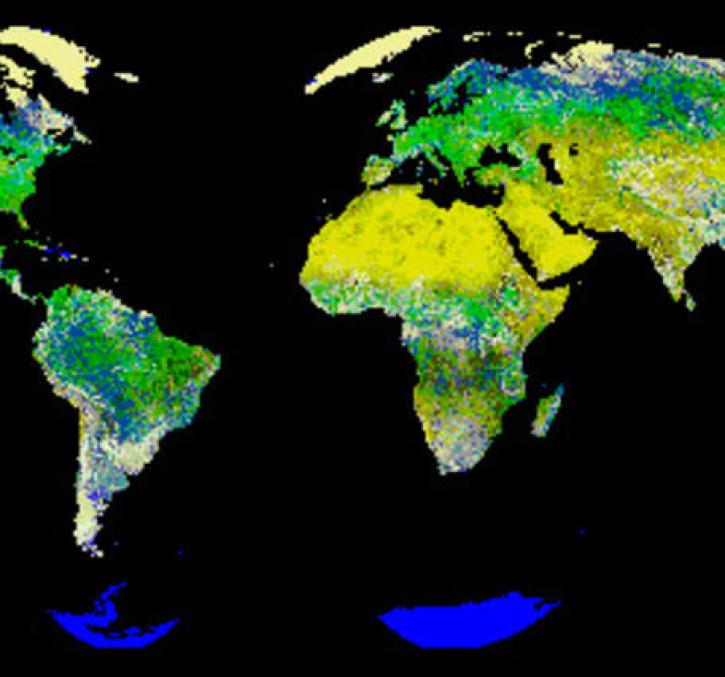
New logic for classifying vegetation using the Global Land AVHRR Dataset (GLAD).
Feature Article
July 21, 2020
The Amazon rainforest is losing ground as human activity fragments the forests.
Feature Article
July 21, 2020

Extreme weather events thousands of miles apart may be linked.
Feature Article
July 21, 2020

Image captured on 23 November 2015 by the MODIS instrument, aboard the Terra satellite.
Worldview Image of the Week
June 26, 2020

Worldview Release 3.7.0 includes Layer Picker, Timeline Availability Panel, Distraction free mode, Vector capabilities, and more!
Blog
June 23, 2020

Image captured on 31 May 2020, by the MODIS instrument, aboard the Terra satellite.
Worldview Image of the Week
June 8, 2020
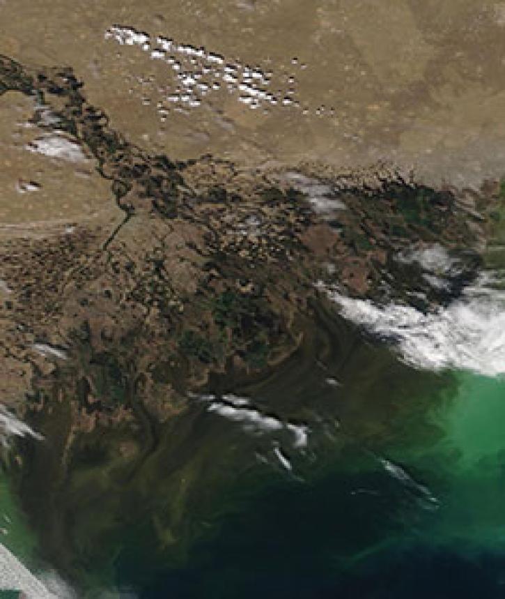
Image captured on 4 May 2020, by the MODIS instrument, aboard the Terra satellite.
Worldview Image of the Week
May 11, 2020
SHOWING 8 OF 450
Frequently Asked Questions
Earthdata Forum
Our online forum provides a space for users to browse thousands of FAQs about research needs, data, and data applications. You can also submit new questions for our experts to answer.
Submit Questions to Earthdata Forumand View Expert Responses